


Ibach in the Black Forest
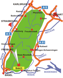
Map: Black Forest
Information in brief
- Location: in the Southern Black Forest, 25 km north of Waldshut-Tiengen
- 870-1215 m above sea level
- 360 inhabitants
- Districts: Oberibach, Unteribach, Lindau, Mutterslehen
Description
Ibach is located between St. Blasien and Todtmoos in the nature preserve Southern Black Forest.
Further information
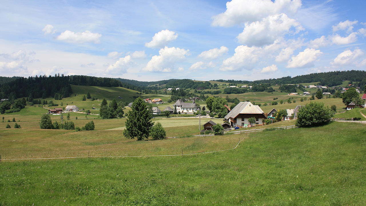
Photo: The Ibach high valley