

Dachsberg in the Black Forest
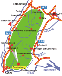
Map: Location of Dachsberg in the Black Forest
Information in brief
- Location: Southern Black Forest, 20 km north of Waldshut-Tiengen
- 540-1100 m above sea level
- 1.300 inhabitants
- Districts: Urberg, Wittenschwand, Wolpadingen, Wilfingen
Description
The Municipality of Dachsberg is situated on the high plain of the Hotzenwald near the swiss border.

Photo: Wittenschwand
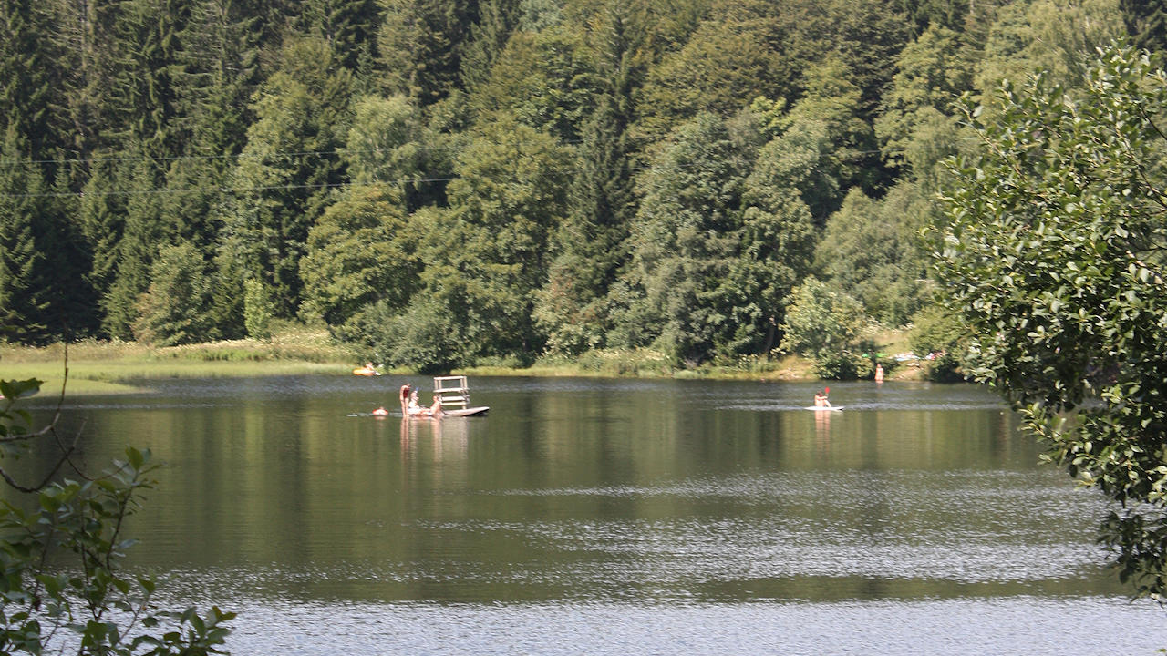
Photo: Klosterweiher
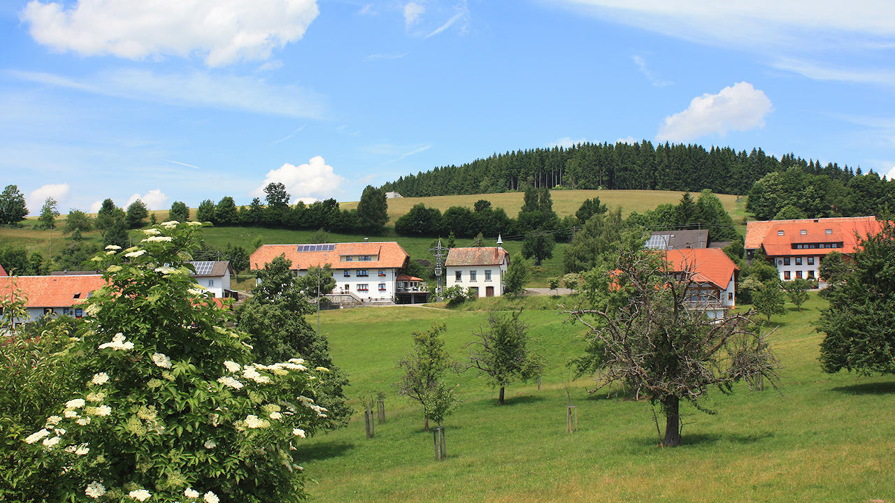
Photo: Wolpadingen