


Todtmoos in the Black Forest
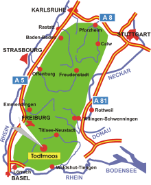
Map: Todtmoos in the Black Forest
Information in brief
- Location: in the Southern Black Forest, 30 km north of Waldshut
- 700-1263 m above sea level
- 1.900 inhabitants
- Districts: Au, Berghütte, Glashütte, Schwarzenbach, Lehen, Höfle, Mättle, Strick, Weg, Hintertodtmoos, Rütte, Prestenberg
Description
Todtmoos is located in the upper Wehra valley in the south of the High Black Forest. The district stretches from an altitude of 700 m in the Wehra valley to 1263 m. In the centre, the visitor will find beautiful resort gardens and a promenade with a large number of shops and convivial street cafés for relaxation.
100 km of sign-posted hiking trails lead to beautiful viewpoints, the most striking of which is the lookout tower on the Hochkopf, the local mountain. Guided hikes and Nordic walking tours are also offered. There are also some sign-posted tours for mountain bikers, the mountains around Todtmoos present a real challenge.
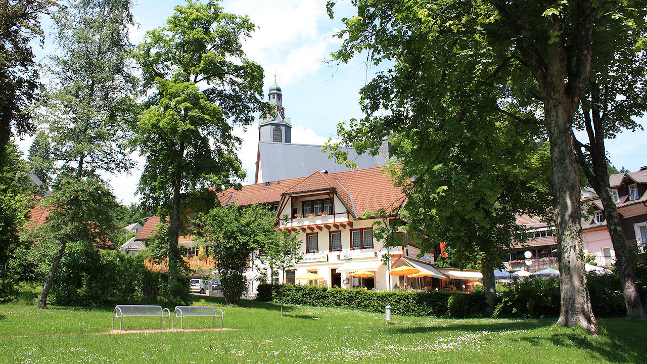
Photo: The spa gardens
Hotels in Todtmoos
Further information
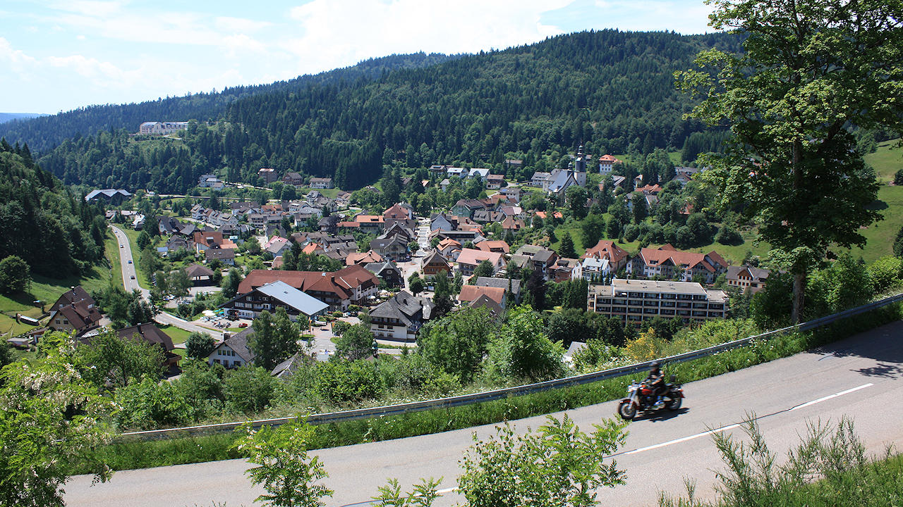
Photo: Todtmoos in the Wehra valley
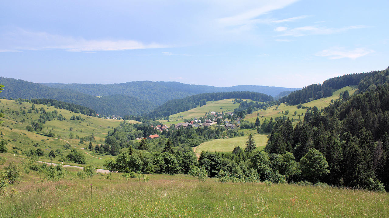
Photo: The district of 'Weg' on the high plateau