Stühlingen in the Black Forest

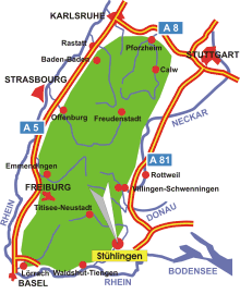
Map: Black Forest
Information in brief
- Location: at the south-eastern edge of the Black Forest
- Autobahn A 81 exit at Geisingen (No. 38)
- 449-601 m above sea level
- 5.100 inhabitants
- Districts: Bettmaringen, Blumegg, Eberfingen, Grimmelshofen, Lausheim, Mauchen, Oberwangen, Schwaningen, Unterwangen, Weizen
Description
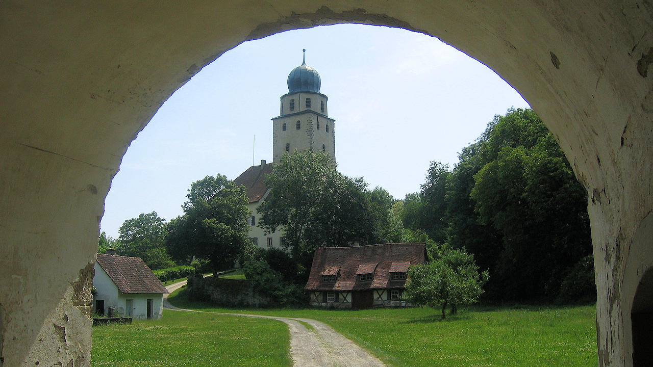
The historic border town of Stühlingen is located in the Wutach Valley on the southern edge of the Black Forest, right on the border with Switzerland. The town's landmark, visible from far away, is the imposing Hohenlupfen Castle, which towers majestically above the valley. The city is an ideal starting point for nature enthusiasts, as the well-known, 119 kilometer long long-distance hiking trail “Schluchtensteig” through the southern Black Forest starts here. In addition to hikes through the nearby Wutach Gorge and along the protected Orchideenweg, the historic 'Sauschwänzlebahn' - one of the most famous museum railways in Germany - particularly attracts railway romantics and families to the region.