

Offenburg in the Black Forest
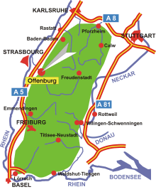
Map: Location of Offenburg in the Black Forest
Information in brief
- Location: at the western edge of the Black Forest
- Autobahn A 5 exit at Offenburg (No. 55)
- 142-690 m above sea level
- 58.500 inhabitants
- Districts: Bohlsbach, Bühl, Elgersweier, Fessenbach, Griesheim, Rammersweier, Waltersweier, Weier, Windschläg, Zell-Weierbach, Zunsweier
Description
The district town of Offenburg (Ortenau district) is located at the edge of the Central Black Forest, 20 km south-east of Strasbourg. The districts of Fessenbach, Rammersweier and Zell-Weierbach are well-known wine villages in the Ortenau region.
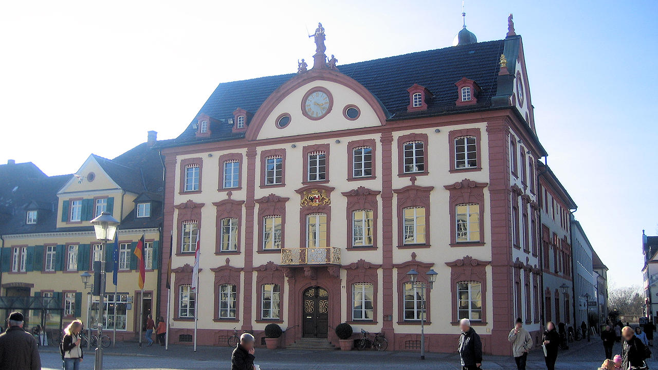
Photo: Historical town hall