


Appenweier
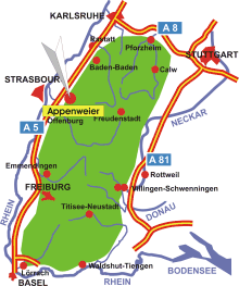
Map: Black Forest
Information in brief
- Location: at the Upper Rhine, 10 km north of Offenburg
- A 5 exit at Appenweier (No. 54)
- 147-392 m above sea level
- 9.700 inhabitants
- Districts: Nesselried, Urloffen
Description
Appenweier is located between the Upper Rhine Valley and the Black Forest. The village of Urloffen ist famous for its horseradish.
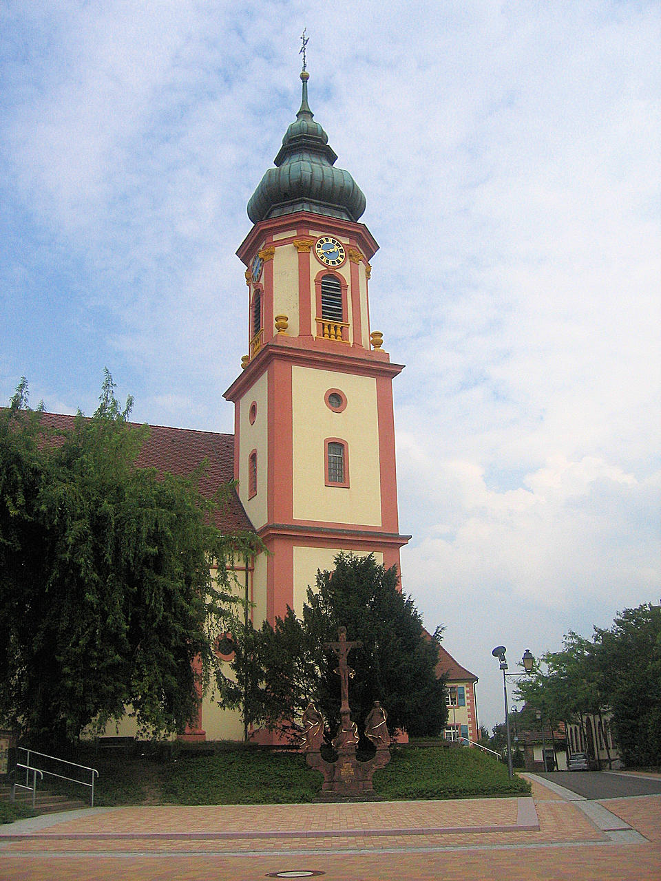
Photo: Church St. Michael