


Baiersbronn in the Black Forest

Map: Location of Baiersbronn in the Black Forest
Information in brief
- Location: in the Northern Black Forest, 7 km north of Freudenstadt
- Autobahn A 5 exits at Rastatt (No. 49) oder Achern (No. 53), A 81 exit at Horb am Neckar (No. 30)
- 450-1150 m above sea level
- 14.600 inhabitants
- Districts: Friedrichstal, Mitteltal, Obertal, Tonbach, Klosterreichenbach, Röt- Schönegründ, Huzenbach, Schwarzenberg, Schönmünzach, Schönmünz
Description
Baiersbronn and its districts extend for more than 20 km in the Murg valley between Freudenstadt and the Ruhestein (rock of resting) on the Black Forest High Road up to Schönmünzach.
Under the title 'Wanderhimmel' (a Walker's Paradise), the municipality of Baiersbronn has done a great deal in recent years to make hiking, which is still one of the main reasons for visitors to come to the Black Forest, more attractive and more up-to-date. A large number of hiking trails are provided, as well as guided hikes, geocoaching and winter hiking trails. 4 lodges which offer refreshments for the hiker were also opened halfway up the valley side. Baiersbronn is famous for its superior hotels and its top quality restaurants, which have won several awards.
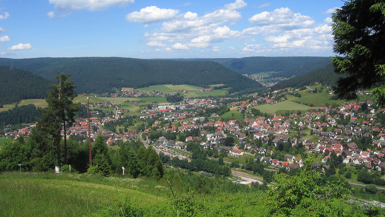
Photo: View from Stöckerkopf Mountain on Baiersbronn
Hotels in Baiersbronn
Further information
Further information - links
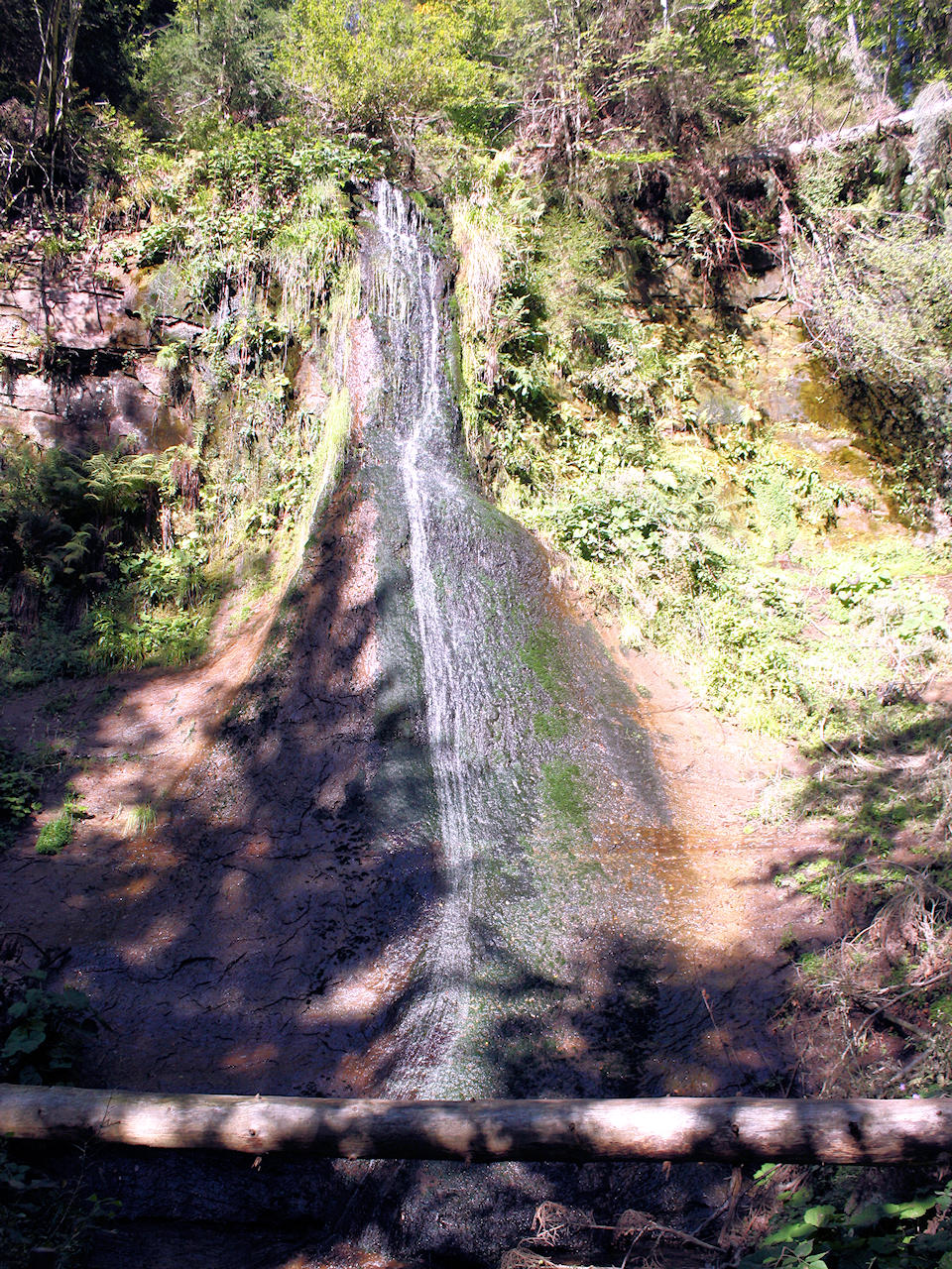
Photo: Sankenbach waterfalls
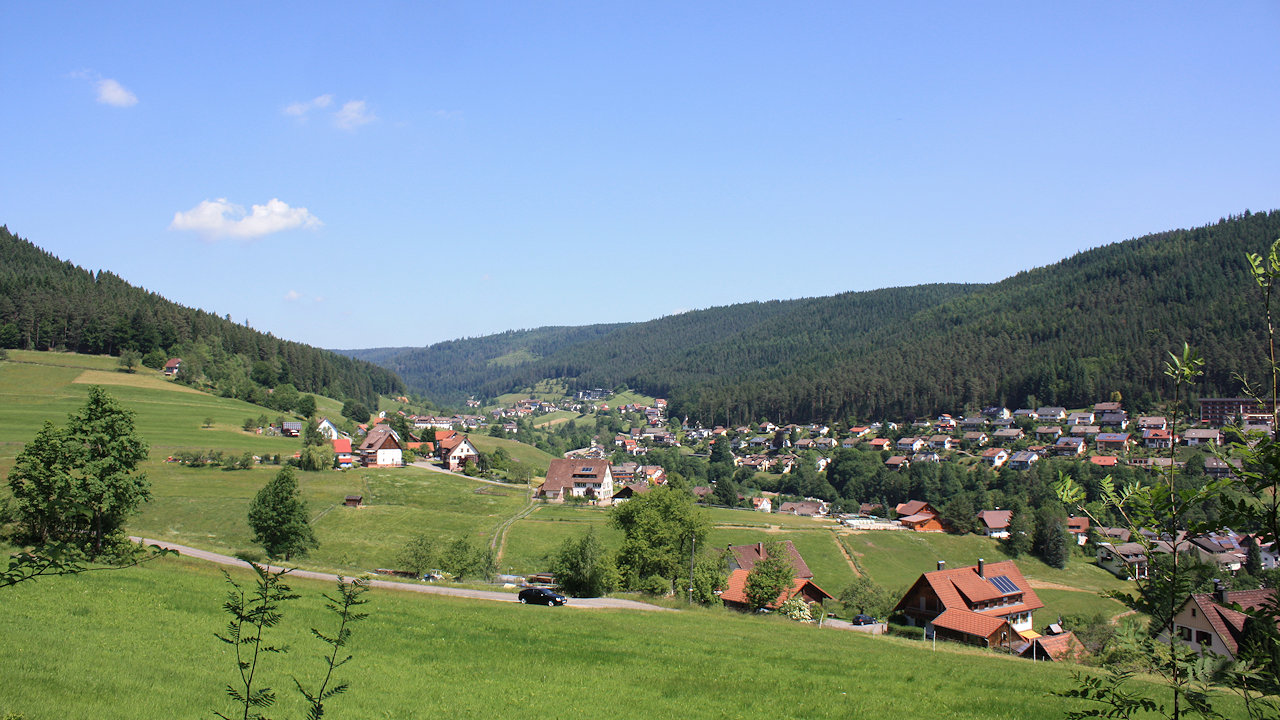
Photo: Tonbach, idyllically located in a side valley
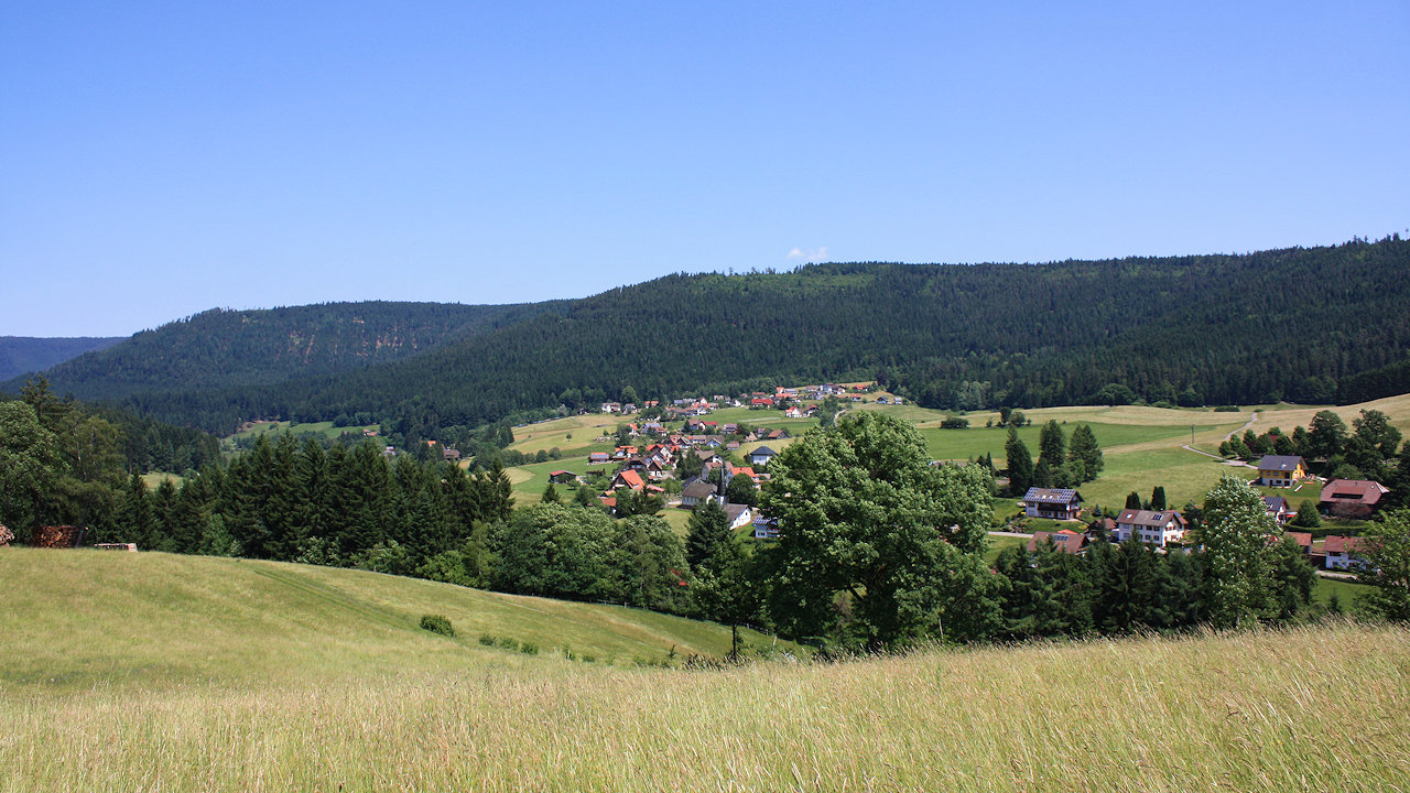
Photo: View on the district of Schönegründ