


Bräunlingen in the Black Forest
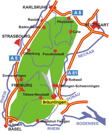
Map: Black Forest
Information in brief
- Location: at the eastern edge of the Black Forest, 20 km south of Villingen-Schwenningen
- Autobahn A 81 exit at Geisingen (No. 38) or triangle Bad Dürrheim (No. 37)
- 700-1000 m above sea level
- 5.900 inhabitants
- Districts: Bruggen, Döggingen, Mistelbrunn, Unterbränd, Waldhausen.
Description
Bräunlingen is situated on the Baar high plain.
Hotels in Bräunlingen
Further information
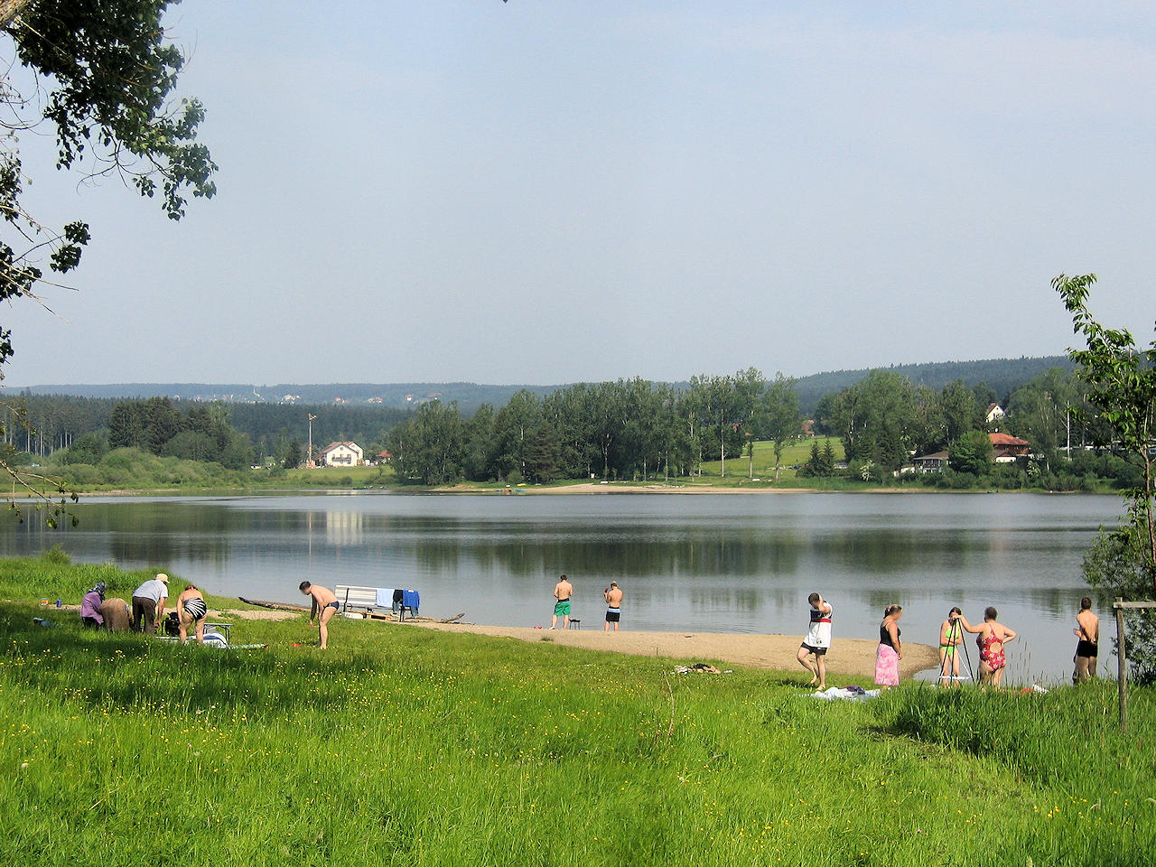
Photo: The Kirnbergsee - lake for swimming and windsurfing
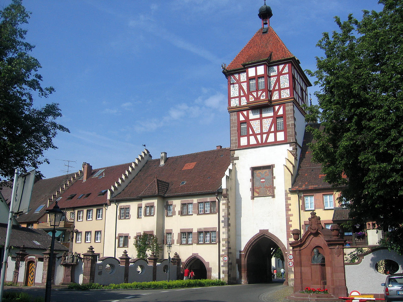
Photo: Historical town gate