


Winden im Elztal in the Black Forest
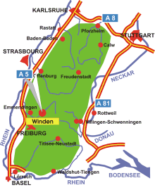
Map: Winden in the Black Forest
Information in brief
- Location: ca. 20 km north-east of Freiburg
- Autobahn A 5 exit at Freiburg-Nord (No. 61)
- 300-1080 m above sea level
- 2.800 inhabitants
- Districts: Niederwinden, Oberwinden
Description
The Elz valley extends in a north-easterly direction to the Black Forest from its mouth at the Rhine Valley between Freiburg and Emmendingen. The municipality of Winden in the Elz valley has a very scenically beautiful location at the entrance to the upper Elz valley.
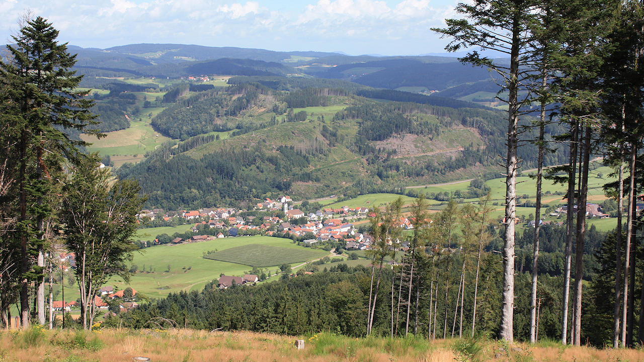
Photo: Winden im Elztal, view from the Hörnleberg mountain
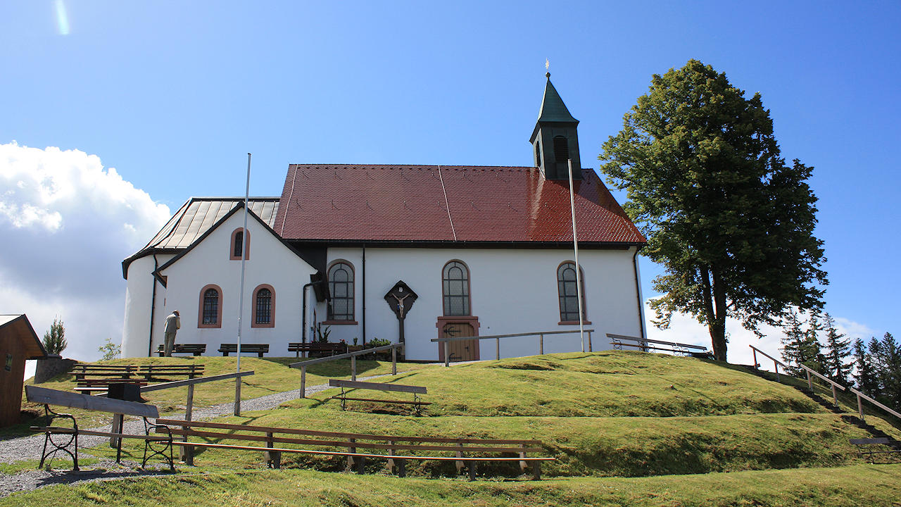
Photo: Church of pilgrimage Hörnleberg