


Simmersfeld in the Black Forest
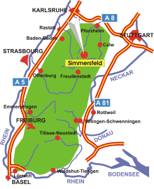
Map: Black Forest
Information in brief
- Location: in the Northern Black Forest, 20 km north of Freudenstadt
- A 8 exit at Pforzheim- West (No. 43), A 81 exit at Rottenburg
- 730-800 m above sea level
- 2.100 inhabitants
- Districts: Aichhalden-Oberweiler, Beuren, Fünfbronn, Ettmannsweiler
Description
Simmersfeld is located on the plateau of the Northern Black Forest between the rivers Enz und Nagold. The plains are destinated for hiking and biking as well as in winter for cross-country skiing.
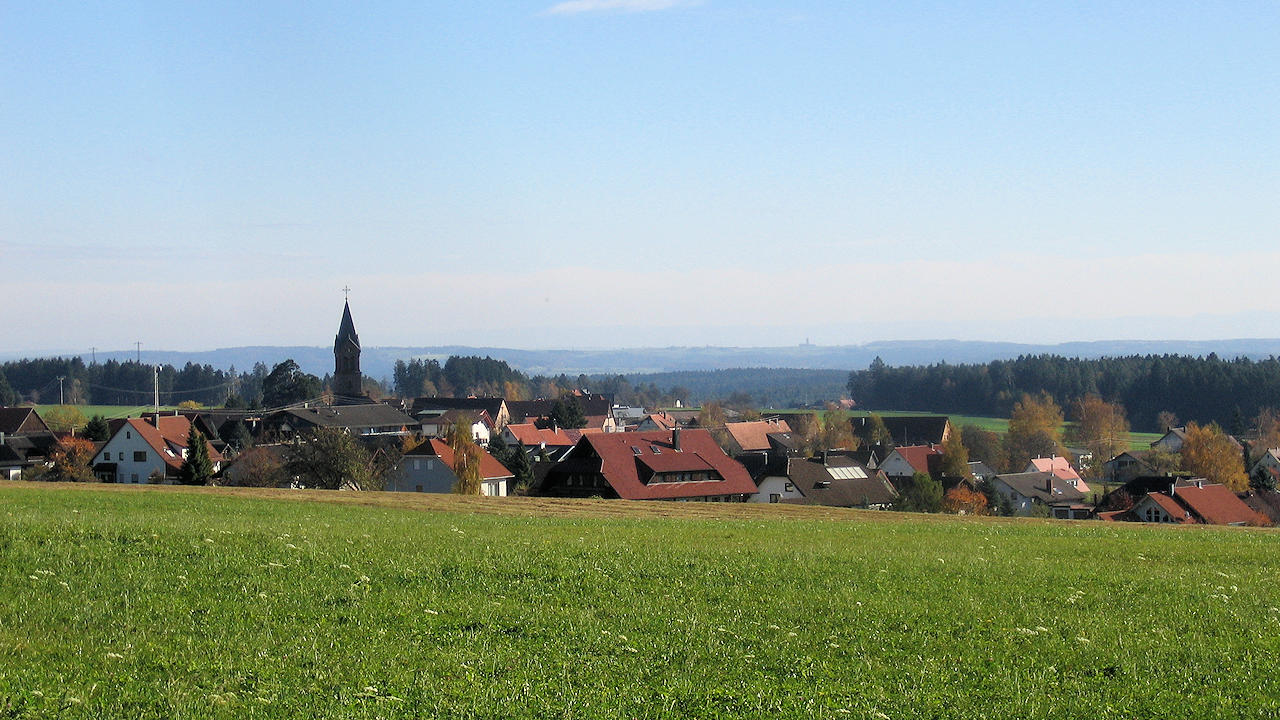
Photo: Simmersfeld