


Neuweiler in the Black Forest
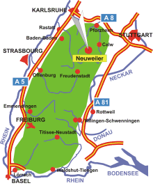
Map: Neuweiler in the Black Forest
Information in brief
- Location: in the Northern Black Forest, 20 km south-west of Calw
- Autobahn A 8 exit at Pforzheim-West (No. 43)
- 450-760 m above sea level
- 3.100 inhabitants
- Districts: Agenbach, Breitenberg, Gaugenwald, Hofstett, Oberkollwangen, Zwerenberg
Description
Neuweiler: The municipality is located on a plateau between the rivers Nagold and Enz. Almost 80% of its area is forested.
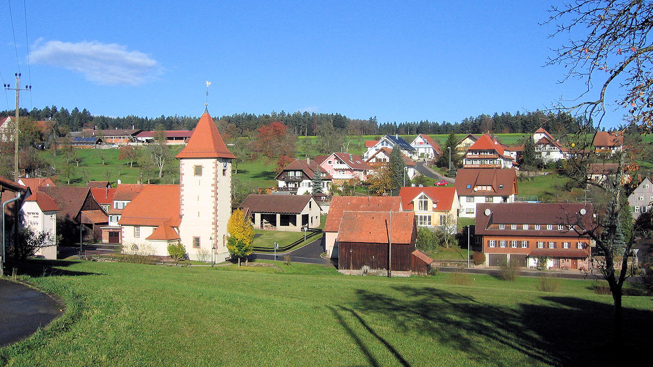
Photo: Oberkollwangen
Further information

Photo: View on Neuweiler
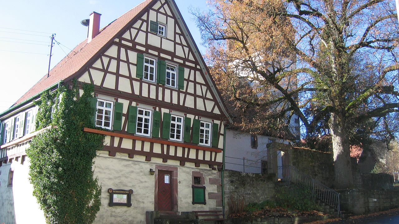
Photo: Museum of local history