

Wehr in the Black Forest
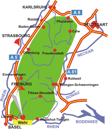
Map: Black Forest
Information in brief
- Location: at the southern edge of the Black Forest, 20 km east of Lörrach
- 280-910 m above sea level
- 12.700 inhabitants
- District: Öflingen
Description
Scenic highlight is the 15 km long Wehratal gorge between Wehr and Todtmoos.
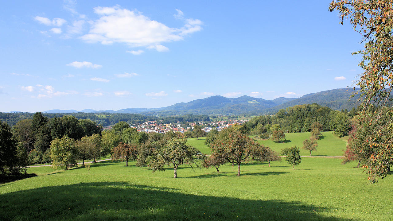
Photo: Wehr between High Rhine and Black Forest

Photo: The Wehra gorge is very popular to bikers