


Waldshut-Tiengen in the Black Forest
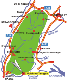
Map: Waldshut-Tiengen in the Black Forest
Information in brief
- Location: at the southern edge of the Black Forest, between Lörrach and Lake Constance
- 340-700 m above sea level
- 23.600 inhabitants
- Districts: Aichen-Gutenburg, Breitenfeld, Detzeln, Eschbach, Gaiß-Waldkirch, Gurtweil, Indlekofen, Krenkingen, Oberalpfen, Schmitzingen
Description
Waldshut-Tiengen is located on the Upper Rhine at the southern edge of the Black Forest and directly on the Swiss border. The double town is the district town of the rural district of Waldshut, as well as a local urban centre for the surrounding communities.
Hotels in Waldshut-Tiengen
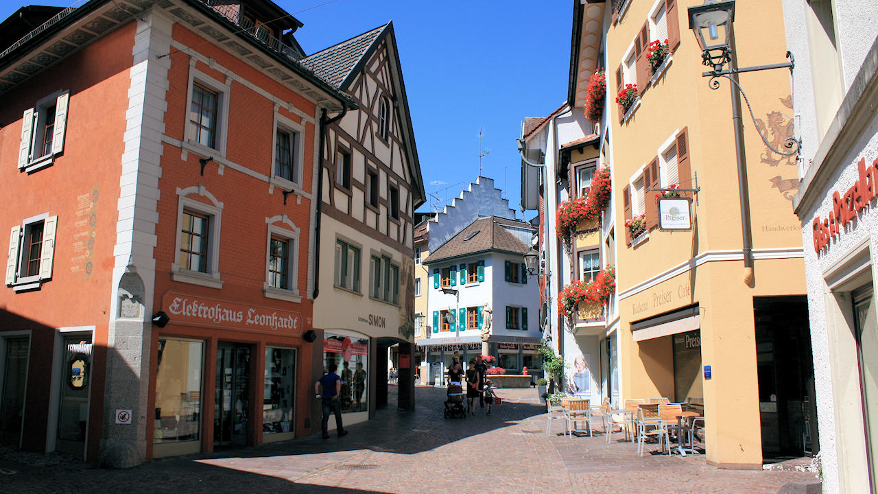
Photo: Pedestrian area in Tiengen
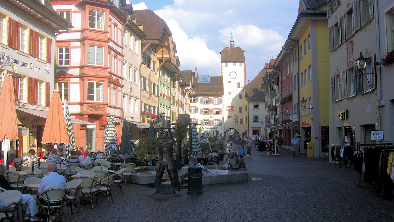
Photo: Pedestrian area in Waldshut, the Kaiserstraße