


Steinen in the Black Forest
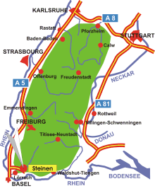
Map: Steinen in the Black Forest
Information in brief
- Location: in the south-west of the Black Forest, near Lörrach
- Autobahn A 98 exit at Lörrach (No. 5)
- 320-988 m above sea level
- 10.000 inhabitants
- Districts: Endenburg, Hägelberg, Höllstein, Hüsingen, Kirchhausen, Schlächtenhaus, Weitenau
Description
Steinen is situated in the Wiese valley near Lörrach at the south-west corner of the Black Forest.
Further information
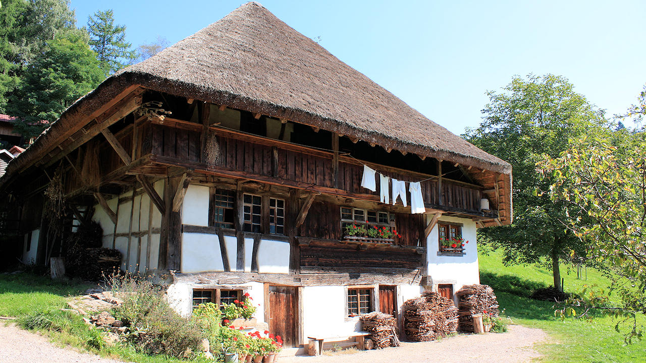
Photo: Farmhouse museum Schneiderhof
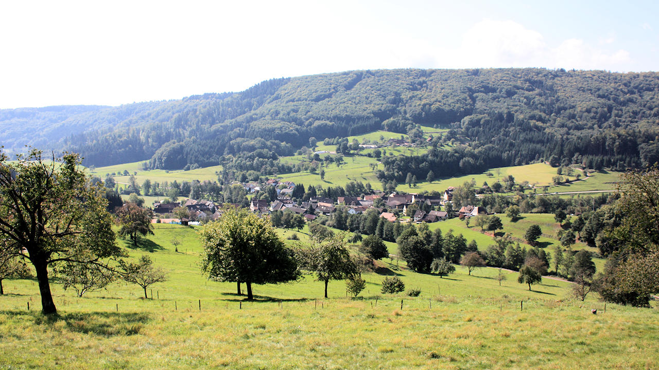
Photo: District of Schlächtenhaus