Pforzheim in the Black Forest

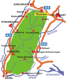
Map: Pforzheim in the Black Forest
Information in brief
- Location: at the northern edge of the Black Forest, between Karlsruhe and Stuttgart
- Autobahn A 8 exits at Pforzheim- West, Nord and Ost (No. 43-45)
- 235-610 m above sea level
- 122.000 inhabitants
- Districts: Arlinger, Brötzingen, Büchenbronn, Sonnenberg, Sonnenhof, Dillweißenstein, Eutingen an der Enz, Hohenwart, Huchenfeld, Würm
Description
The 'gold town' of Pforzheim is located at the confluence of the Enz and Nagold at the northern edge of the Black Forest. Pforzheim is a regional centre of Baden-Württemberg and has one of the highest industry densities in the state. The traditional industry is jewellery and watchmaking, which is also reflected in the Jewellery Museum, the technical museum of the Pforzheim jewellery and watchmaking industry and the 'Schmuckwelten' shopping and leisure centre.

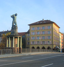
Photo: The Auer bridge at the confluence of the Enz and Nagold
Further information

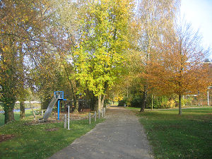
Photo: The Enzauen Park


