

Lossburg in the Black Forest
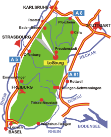
Map: Lossburg in the Black Forest
Information in brief
- Location: in the Northern Black Forest, 10 km south of Freudenstadt
- Autobahn A 5 exit at Rastatt (No. 49) or Freiburg- Nord (No. 61), A81 exit at Horb a.N. (No. 30)
- 520-800 m above sea level
- 7.400 inhabitants
- Districts: Rodt, Sterneck, Romsgrund, Wittendorf, Lombach, 24-Höfe, Schömberg, Steinwald, Ödenwald, Betzweiler, Wälde
Description
The climatic resort of Lossburg with its hamlets is located on the high plateau of the Northern Black Forest at an altitude of 600-800 metres. The source of the Kinzig, which crosses the Black Forest from east to west and flows into the Rhine at Kehl, is in Lossburg.
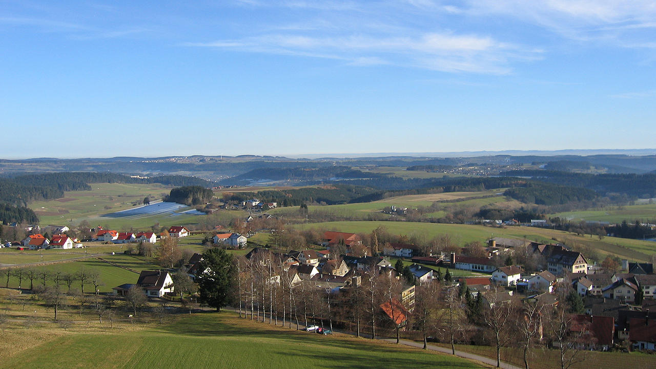
Photo: View from the Vogteiturm on Lossburg
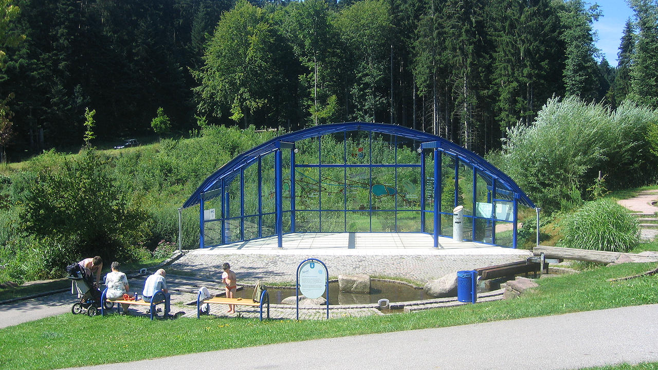
Photo: Large children's playground - The 'Zauberland'
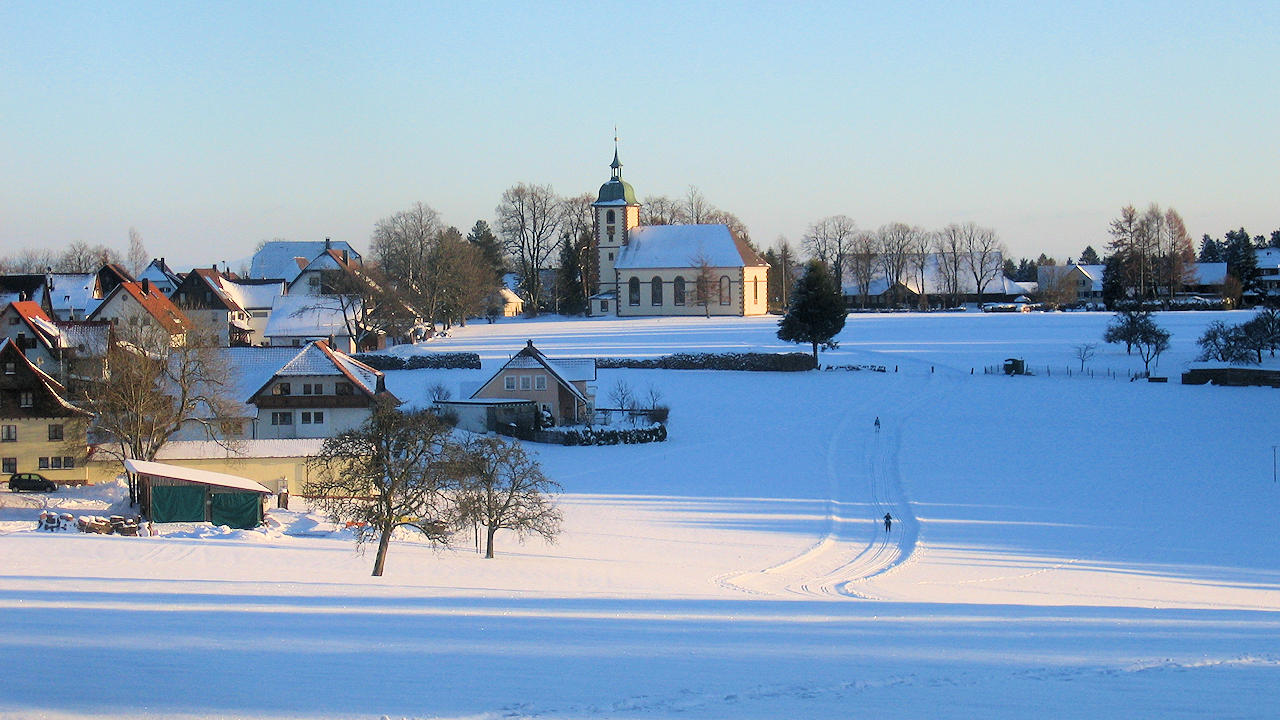
Photo: Landscape in winter in Schömberg