


The West Trail (Westweg)
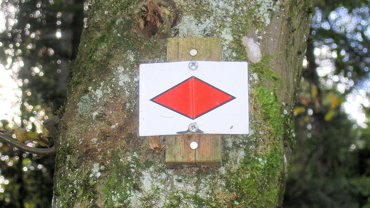
Photo: The West Trail trail sign
Information in brief
- The most famous hiking trail in the Black Forest
- Length: 285 km
- Part of the European Hiking Trail E1 from the North Cape to Sicily
Description
The Westweg leads through the Enz valley from Pforzheim to Dobel and then runs through high moors, past the Wildsee and Hornsee lakes, to the Hohloh (the mountain and moor lake of the same name). The Murg valley is then crossed, and the trail ascends Hornisgrinde Mountain. It continues along the Black Forest High Road to Alexanderschanze (18th century fortifications) and then descends through the Kinzig valley to Hausach.
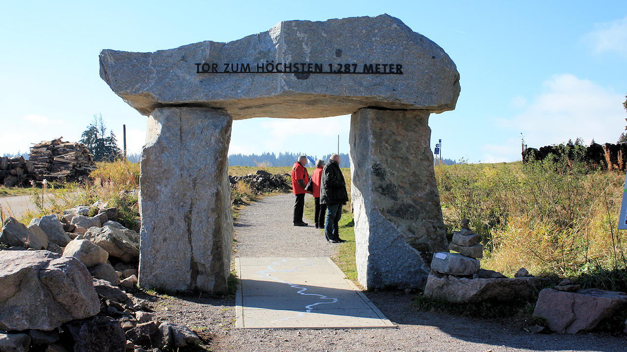
Photo: Westweg Portal on Feldberg Mountain
After a steep ascent, the Westweg continues on to the hills between Gutach Valley and Elz Valley and then from the source of the Breg along the European Watershed between the Rhine and the Danube to the "Kalte Herberge" inn. Here the steep valleys leading to the Rhine in the west and the gentle high valleys which lead to the Danube in the east offer a fascinating contrast.
From Lake Titisee the Westweg rises to the highest peak of the Black Forest, the Feldberg. Shortly before this point, hikers can choose between a western and an eastern route.
The western branch runs over the summit of the Feldberg, Belchen Mountain and Blauen Mountain to Kandern and then through the Kander Valley to Basel.
The eastern route leads over Herzogenhorn Mountain, the peaks between the Wehra and Wiese valleys and then through the foothills parallel to the Rhine from Rheinfelden to Basel.
The Westweg can be completed in 12-13 days in sections of 15-25 km. It can be joined and left anywhere on the route.
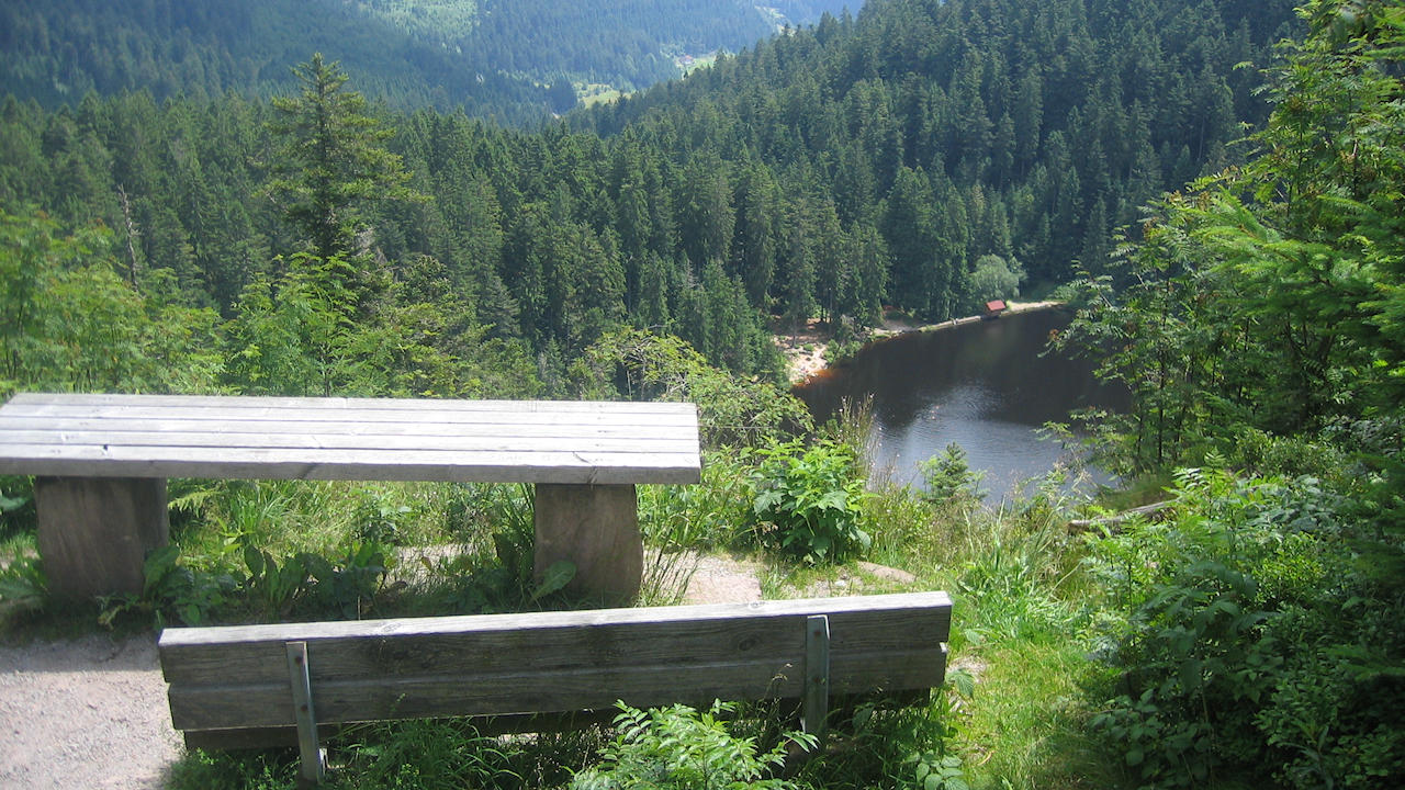
Photo: A beautyful place for a break with view on lake Glaswaldsee