


The East Trail (Ostweg)
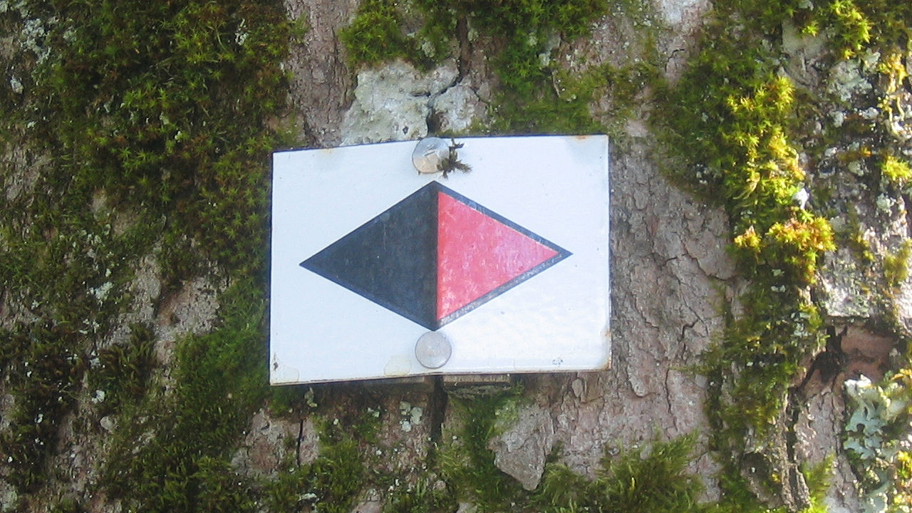
Photo: The trail sign of the Ostweg – a red and black diamond on a white background
Information in brief
- Long-distance hiking trail in the Black Forest
- From Pforzheim to Schaffhausen
- Length: 240 km
Description
The Ostweg runs along the east side of the Black Forest, frequently at the transition between variegated sandstone and shell limestone. It crosses the Danube valley past the Albtrauf, the northern rim of the Swabian Jura.
It traverses the hilltops of the Länge - the highest point (921 m) of the Ostweg – and continues to the Wutach Valley before leading to the Upper Rhine at Schaffhausen over Randen Mountain.
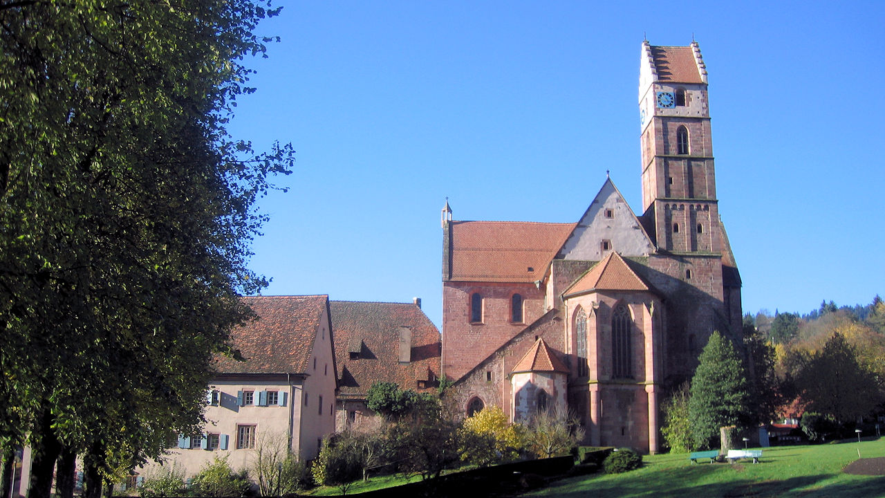
Photo: The monastery church in Alpirsbach