

Küssaberg in the Black Forest
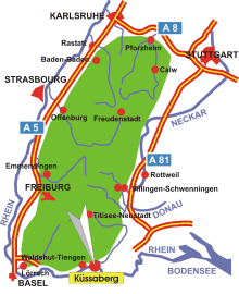
Map: Black Forest
Information in brief
- Location: at the High Rhine, 8 km east of Waldshut-Tiengen
- 330-630 m above sea level
- 5.300 inhabitants
- Districts: Bechtersbohl, Dangstetten, Kadelburg, Ettikon, Küßnach, Reckingen, Rheinheim
Description
The Municipality of Küssaberg is located at the southernmost edge of the Black Forest, near the Swiss border.
Place of interest nearby
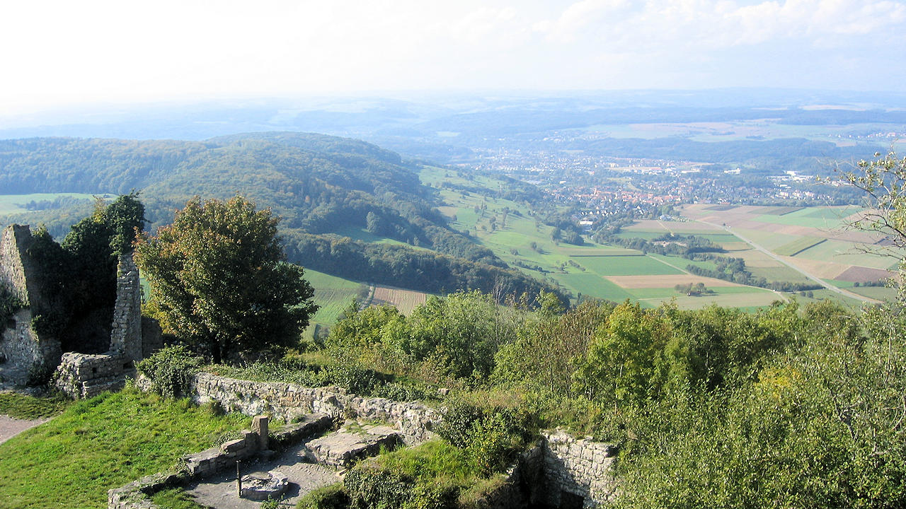
Photo: View from the Küssaburg to the west
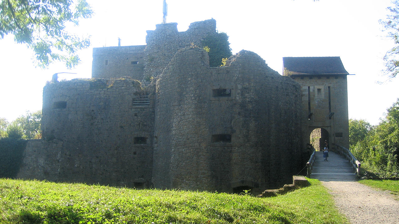
Photo: Küssaburg castle ruin