

Kandern in the Black Forest
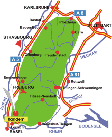
Map: Black Forest
Information in brief
- Location: in the Southern Black Forest, 13 km north of Lörrach
- 350-1200 m above sea level
- 8.200 inhabitants
- Districts: Feuerbach, Holzen, Riedlingen, Sitzenkirch, Tannenkirch, Wollbach
Description
Kandern is located in the southern foothills of the Black Forest, in the border triangle Germany- France- Switzerland near Lörrach.
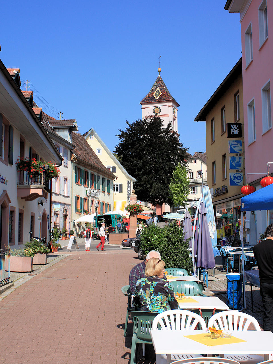
Photo: Kandern