

Dornstetten in the Black Forest
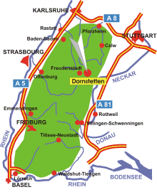
Map: Dornstetten in the Black Forest
Information in brief
- Location: in the Northern Black Forest, ca. 7 km east of Freudenstadt
- A 81 exit at Horb (No. 30)
- 600-730 m above sea level
- 8.000 inhabitants
- Districts: Aach, Hallwangen
Description
Dornstetten is a very beautiful old town with its historical half-timbered houses at the market square.
Further information - links

Photo: Market square
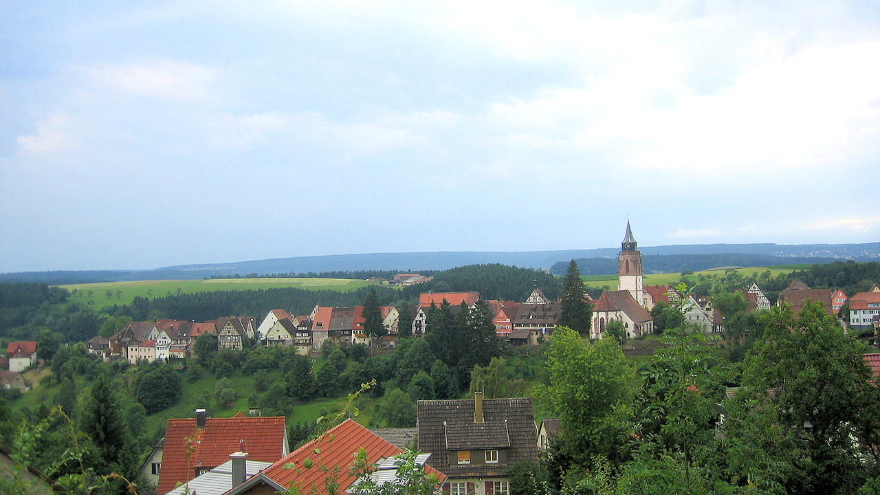
Photo: Dornstetten