


Bernau in the Black Forest
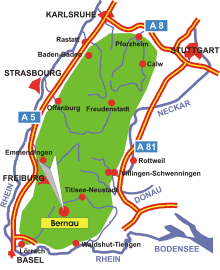
Map: Bernau Black Forest
Information in brief
- Location: in the southern Black Forest near Feldberg Mountain and Lake Schluchsee
- 900-1415 m above sea level
- 2.000 inhabitants
- Districts: Hof, Dorf, Innerlehen, Riggenbach, Kaiserhaus, Altenrond, Oberlehen, Gaß, Unterlehen, Weierle
Description
Bernau is located in a high valley in the southern Black Forest. The community of Bernau consists of around a dozen small settlements and hamlets in a high valley in the southern Black Forest. The Bernauer Hochtal valley is a wonderful hiking area. There are around 100km of hiking trails which offer fantastic views of the valley and the Black Forest mountains of the surrounding area. The scenic highlight is Herzogenhorn Mountain, which at 1415 m above sea level is the third highest mountain in the Black Forest and offers an impressive all-round view.
There are also a great many possibilities for Nordic walking and mountainbiking with all levels of difficulty. In addition, five ski-lifts, cross-country skiing tracks of various lengths, a snowtubing park and winter hiking trails are available for the winter sports enthusiast.
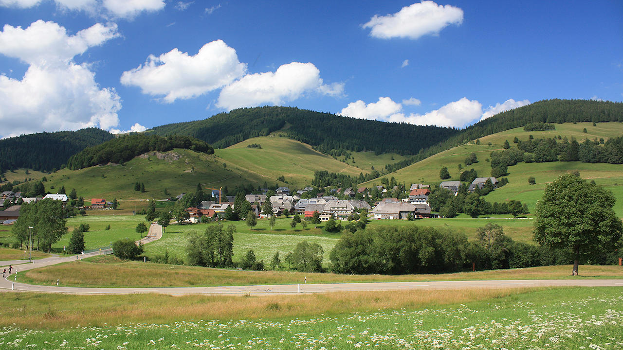
Photo: Bernau
Hotels in Bernau
Further information
Further information - links
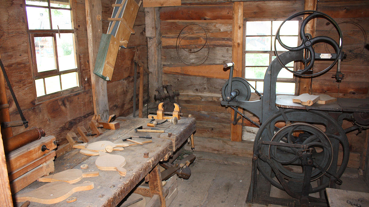
Photo: Inside the museum of local history 'Resenhof'

Photo: The Krunkelbachhütte, which is familiar as the weather station in the 'Kachelmann-Wetter' report on german TV
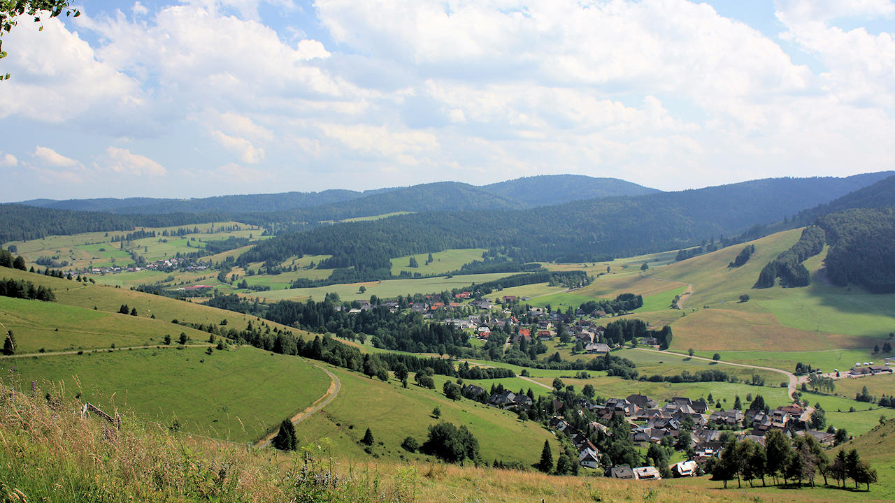
Photo: View on the districts Dorf and Innerlehen
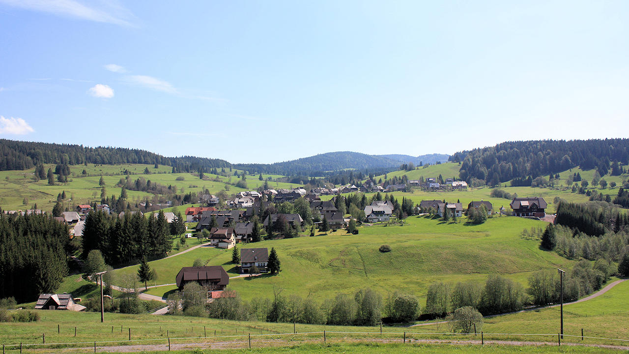
Photo: View on the Bernau high valley