Bad Teinach-Zavelstein in the Black Forest
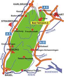
Map: Black Forest
Information in brief
- Location: in the Northern Black Forest, 35 km south of Pforzheim
- Autobahn A8 exits at Pforzheim- West (No. 43) or Pforzheim- Ost (No. 45)
- 340- 740 m above sea level
- 3.000 inhabitants
- Districts: Rötenbach, Emberg, Schmieh, Sommenhardt, Kentheim
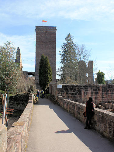
Photo: Zavelstein castle - the tower is open to the public and is a fine lookout tower in this part of the Black Forest
Description
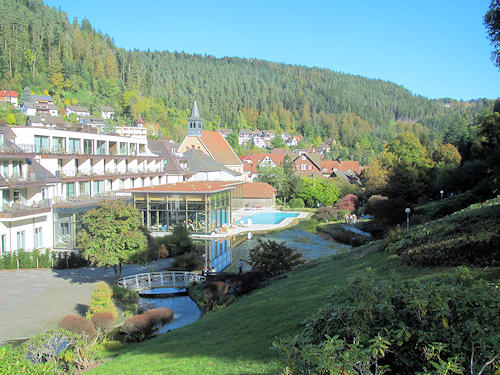
Five of the seven districts of Bad Teinach-Zavelstein are located on the plateau above the Nagold and Teinach valley, and Bad Teinach, the main village, and Kentheim are situated in the valley. Bad Teinach has been known for its medicinal springs since the Middle Ages.
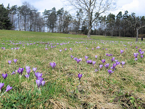
Each year thousands of wild-growing crocuses flower in Zavelstein over an area of more than 50 hectares from the beginning to the end of March. According to legend, a lord of a castle who loved flowers is said to have planted the crocuses in days of old, whereupon they spread further and further in the course of time.
