


Bad Liebenzell in the Black Forest
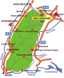
Map: Location of Bad Liebenzell in the Black Forest
Information in brief
- Location: in the Northern Black Forest, 20 km south of Pforzheim
- Autobahn A 8 exit at Pforzheim-West (No. 44)
- 310-687 m above sea level
- 9.300 inhabitants
- Districts: Beinberg, Maisenbach, Unterlengenhardt, Unterhaugstett, Monakam, Möttlingen
Description
Bad Liebenzell is located in a sunny extension of the Nagold valley, surrounded by wooded slopes. Its distinctive landmark is the castle dating from the 13th century. The place has been known for its medicinal springs since the Middle Ages.
Further information - link
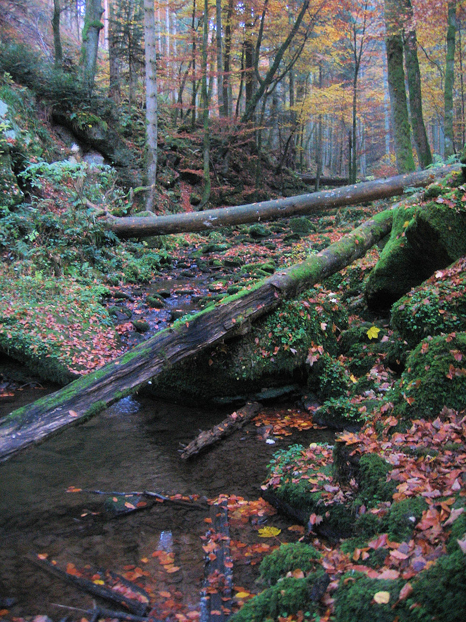
Photo: The Monbach Gorge offers an adventurous nature trail
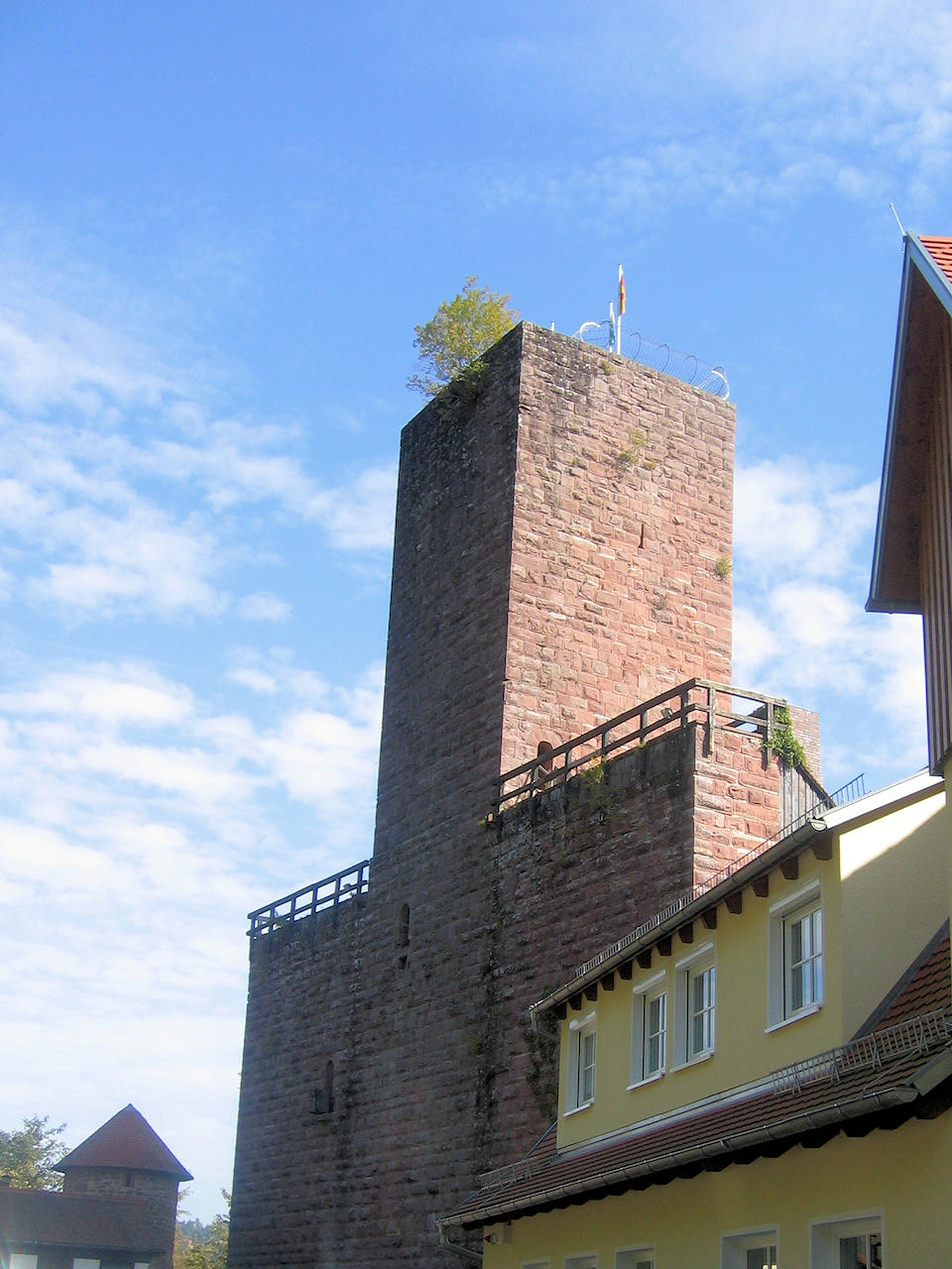
Photo: Liebenzell Castle
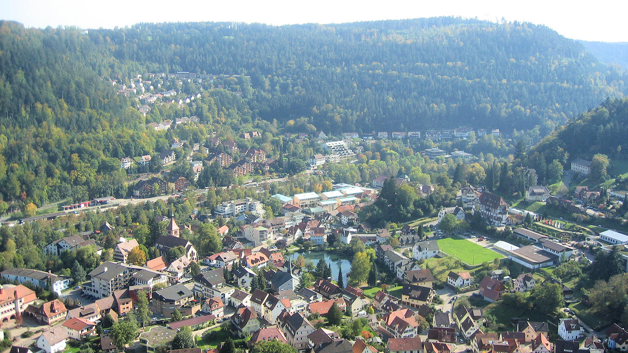
Photo: View from the castle on Bad Liebenzell