


Altensteig in the Black Forest
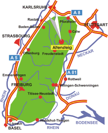
Map: Altensteig in the Black Forest
Information in brief
- Location: In the Northern Black Forest
- Autobahn A 81 exit at Herrenberg (No. 28)
- 440-720 m above sea level
- 10.300 inhabitants
- Districts: Altensteigdorf, Berneck, Garrweiler, Hornberg, Spielberg, Überberg, Walddorf/ Monhardt, Wart
Description
Altensteig is located in the Northern Black Forest in the valley of River Nagold.
Further information - links
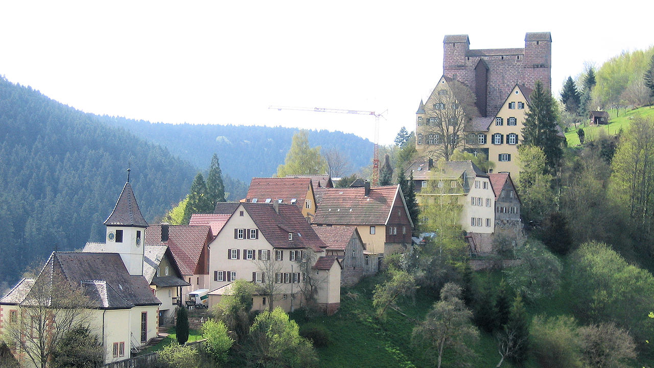
Photo: Castle and old town Berneck
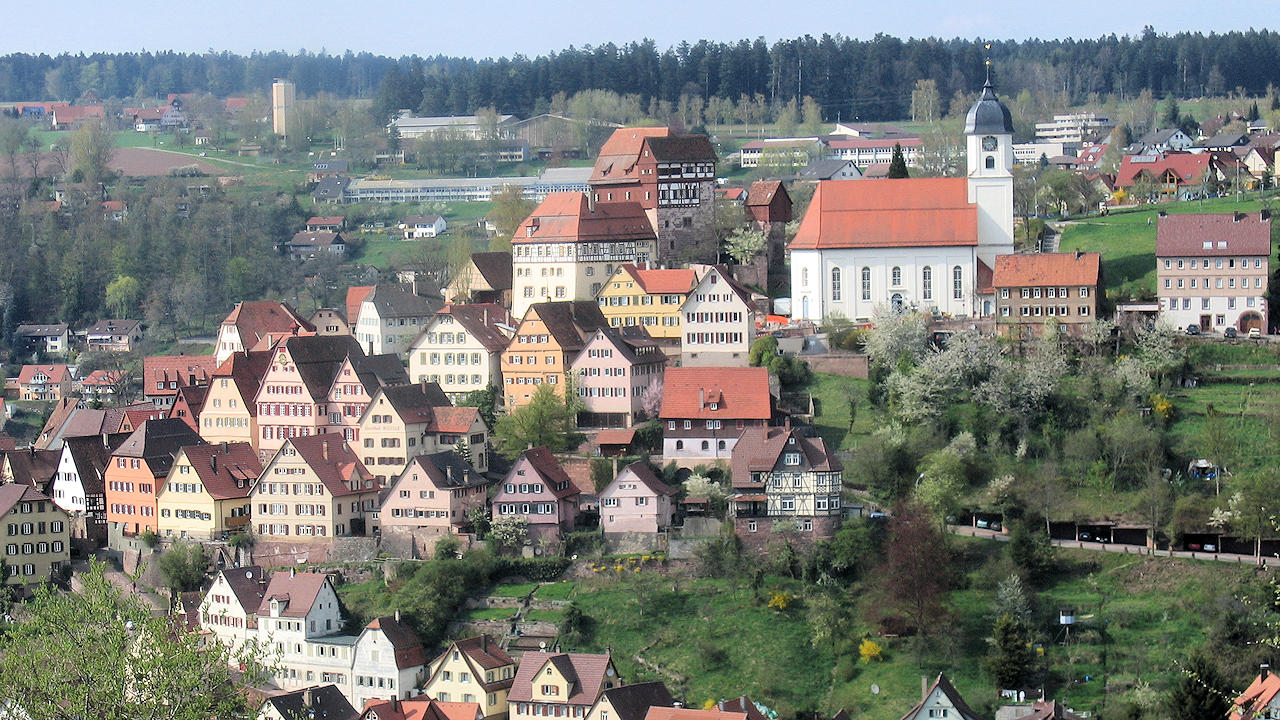
Photo: View on Altensteig