


Albbruck in the Black Forest
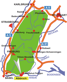
Map: Albbruck in the Black Forest
Information in brief
- Location: at the Upper Rhine, 10km west from Waldshut-Tiengen
- 320-700 m above sea level
- 7.300 inhabitants
- Districts: Albert, Birkingen, Birndorf, Buch, Kiesenbach, Kuchelbach, Schachen, Unteralpfen
Description
Albbruck is located near the border to the Switzerland, the districts are located in the Black Forest.
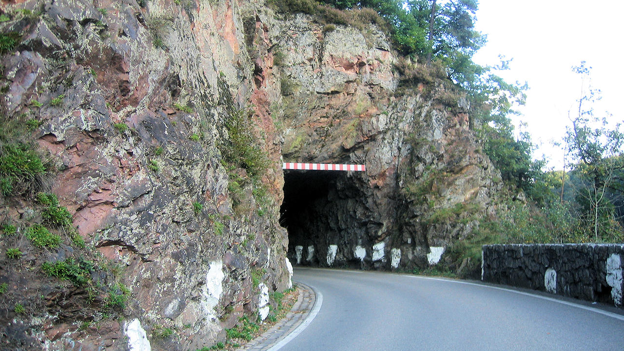
Photo: Street in the Albtal gorge
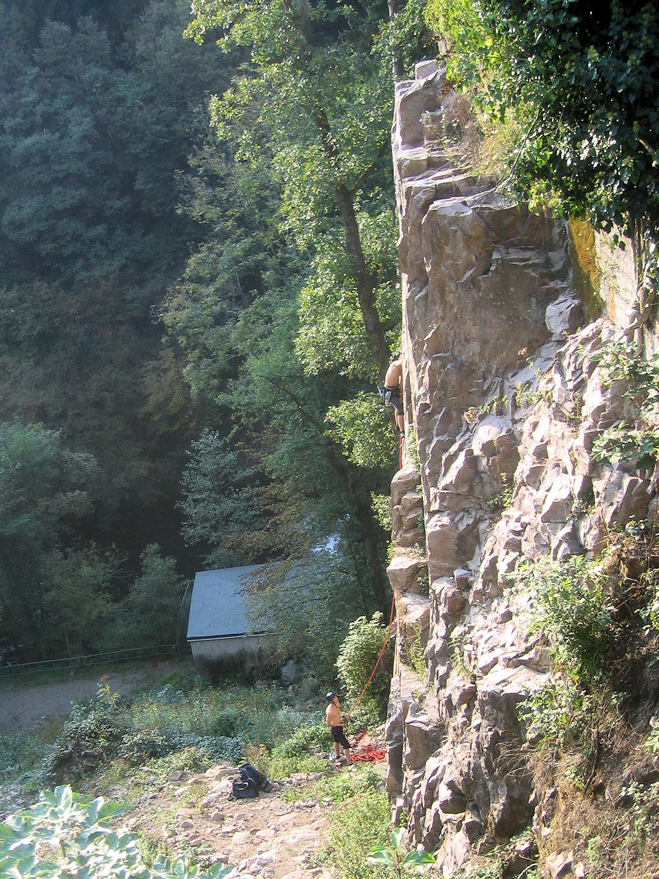
Photo: Rock climbers on the 'Erikafelsen'
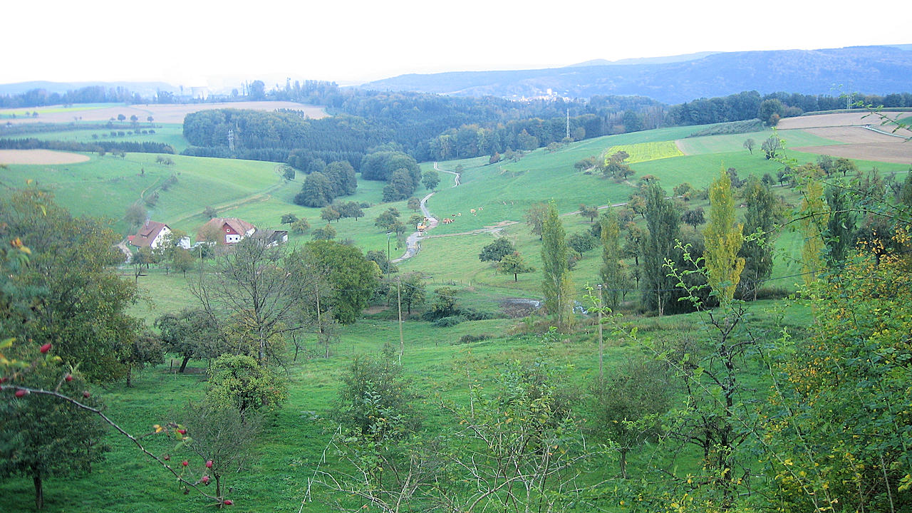
Photo: Plateau between Albbruck-Buch and Birndorf