

Aichhalden- Rötenberg in the Black Forest
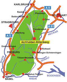
Map: Black Forest
Information in brief
- Location: In the Central Black Forest
- A81 exit at Rottweil (No. 34)
- 640- 720 m above sea level
- 4.100 inhabitants
Description
The municipalities of Aichhalden and Rötenberg are located in the Central Black Forest.
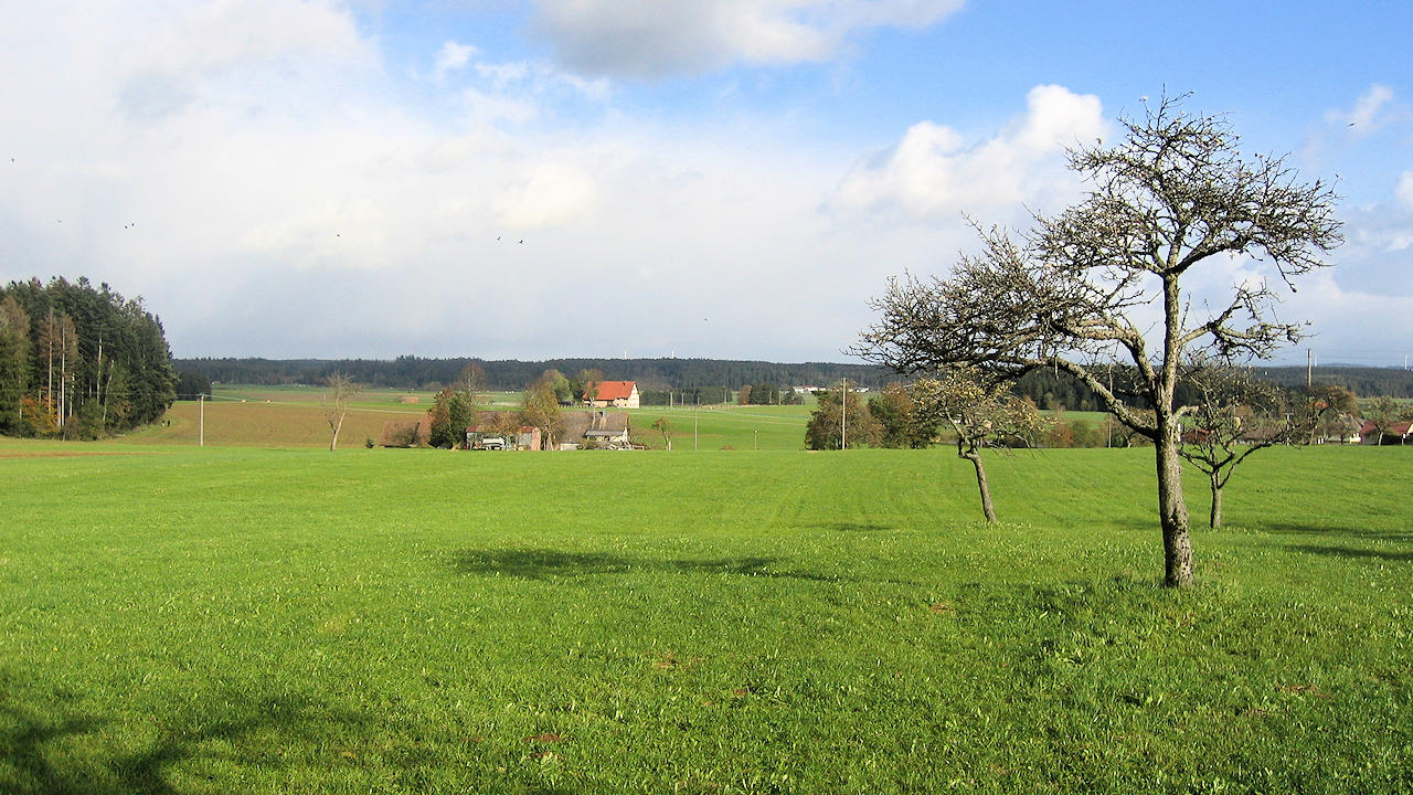
Photo: Plateau near Aichhalden-Rötenberg
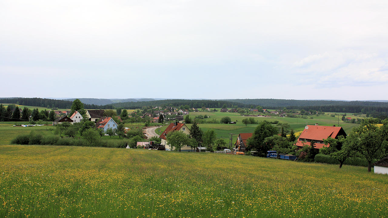
Photo: Rötenberg