


Todtnau in the Black Forest
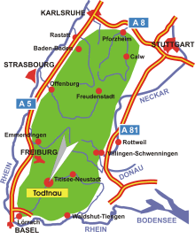
Map: Todtnau in the Black Forest
Information in brief
- Location: in the Southern Black Forest, 30 km south of Freiburg
- Autobahn A 5 exit at Freiburg- Mitte (No. 62), or A 98 exit at Lörrach (No. 5)
- 570-1390 m above sea level
- 4.900 inhabitants
- Districts: Aftersteg, Brandenberg- Fahl, Geschwend, Muggenbrunn, Präg- Herrenschwand, Schlechtnau, Todtnauberg
Description
Todtnau is located in the heart of the Southern Black Forest regional park between the Feldberg and Belchen mountains in the upper Wiese valley. Owing to its location between the highest mountains in the Black Forest, Todtnau offers hiking, cycling and mountain bike routes of various levels of difficulty, but always with a wonderful view of the Black Forest.
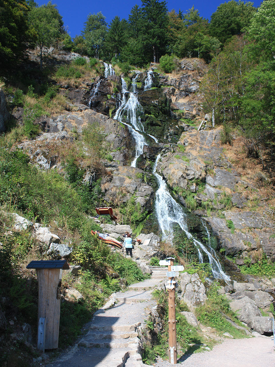
Photo: Todtnau waterfalls
Hotels in Todtnau
Further information
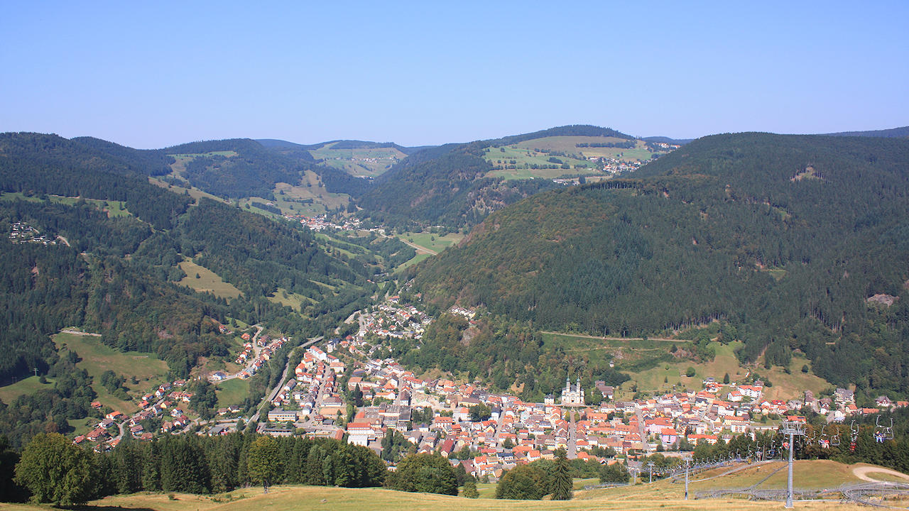
Photo: Great view from the Hasenhorn mountain on Todtnau
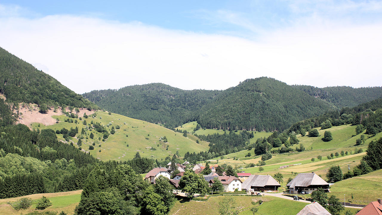
Photo: Präg