


View of the Black Forest High Road
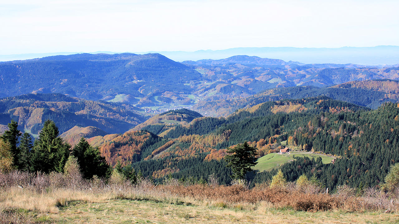
Photo: View from Zuflucht/Rossbühl direction west. This place is often used as a starting place for paragliders.
Information in brief
- The Black Forest High Road runs over 60 km from Freudenstadt to Baden-Baden.
Further Information
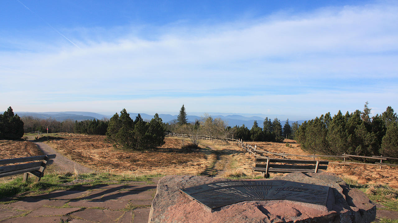
Photo: View from Schliffkopf mountain
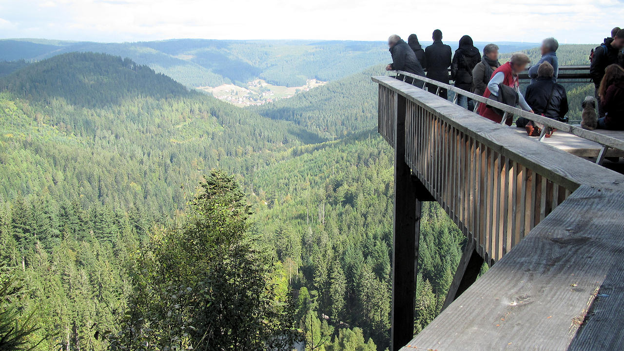
Photo: Ellbachseeblick skywalk near Kniebis