


Görwihl in the Black Forest
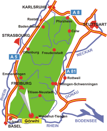
Map: Görwihl in the Black Forest
Information in brief
- Location: in the southernmost part of the Black Forest, 25 km north- west of Waldshut-Tiengen
- 400-1000 m above sea level
- 4.300 inhabitants
- Districts: Engelschwand, Hartschwand, Niederwihl, Oberwihl, Rotzingen, Rüßwihl, Segeten, Strittmatt, Tiefenstein
Description
Görwihl is situated in the region of the 'Hotzenwald', near Bad Säckingen and Waldshut-Tiengen at the Swiss Border.
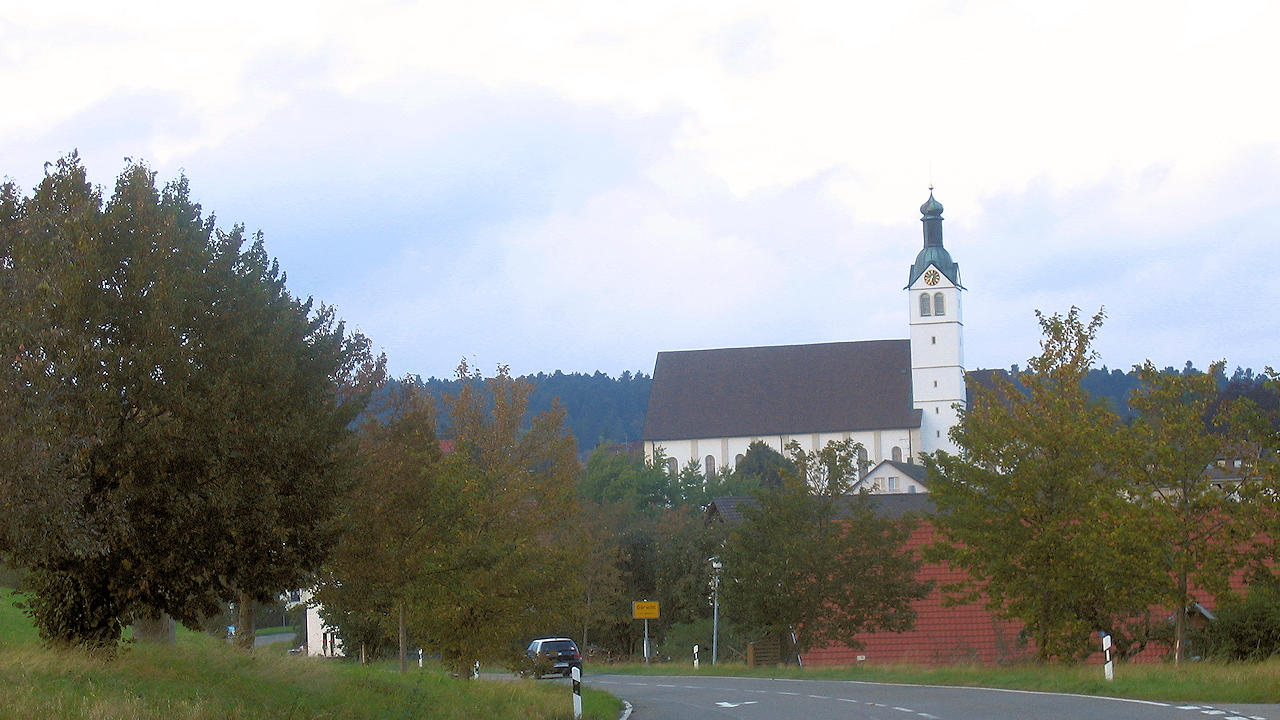
Photo: Görwihl