


Fröhnd in the Black Forest
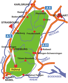
Map: Location of Fröhnd in the Black Forest
Information in brief
- Location: in the southern Black Forest, 20 km north- east of Lörrach
- Autobahn A 98 exit at Lörrach- Mitte (No. 5)
- 500-1200 m above sea level
- 500 inhabitants
- Districts: Hof, Ittenschwand, Kastel, Unterkastel, Oberhepschingen, Niederhepschingen, Künaberg, Stutz, Holz
Description
Fröhnd is situated in the southern part of the Black Forest, in the south-west of Germany.
Further information - link
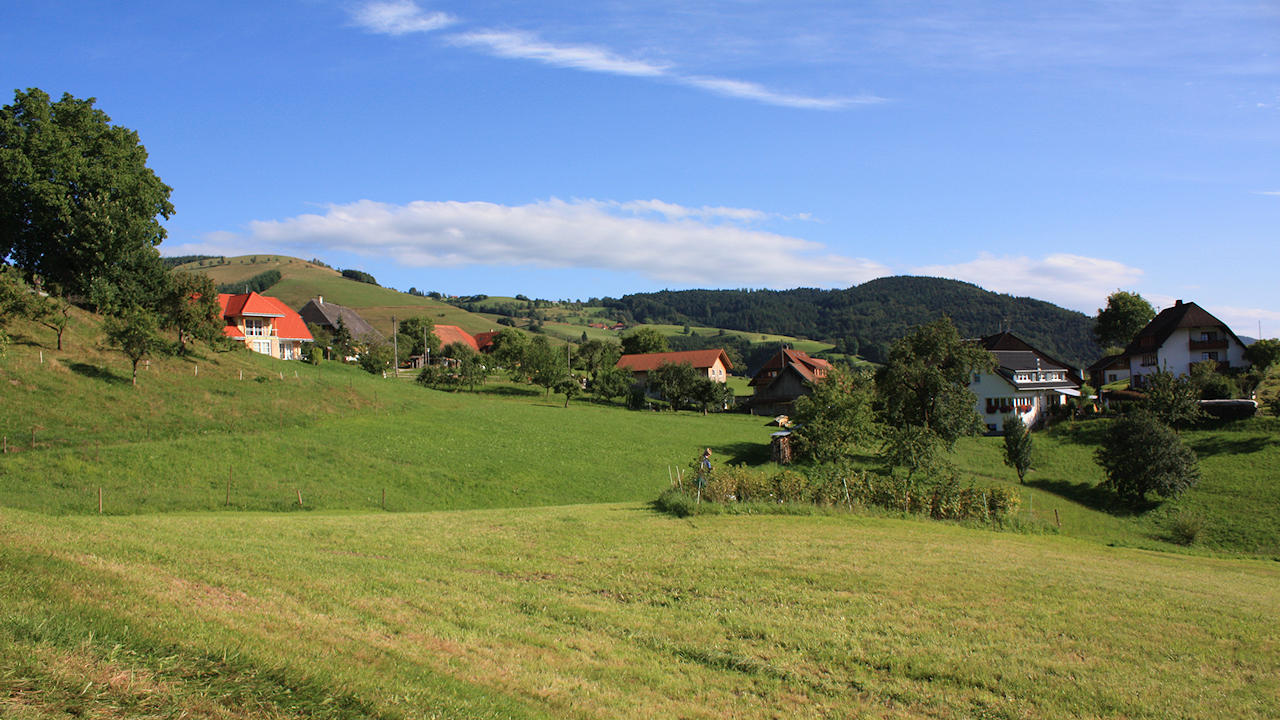
Photo: Künaberg
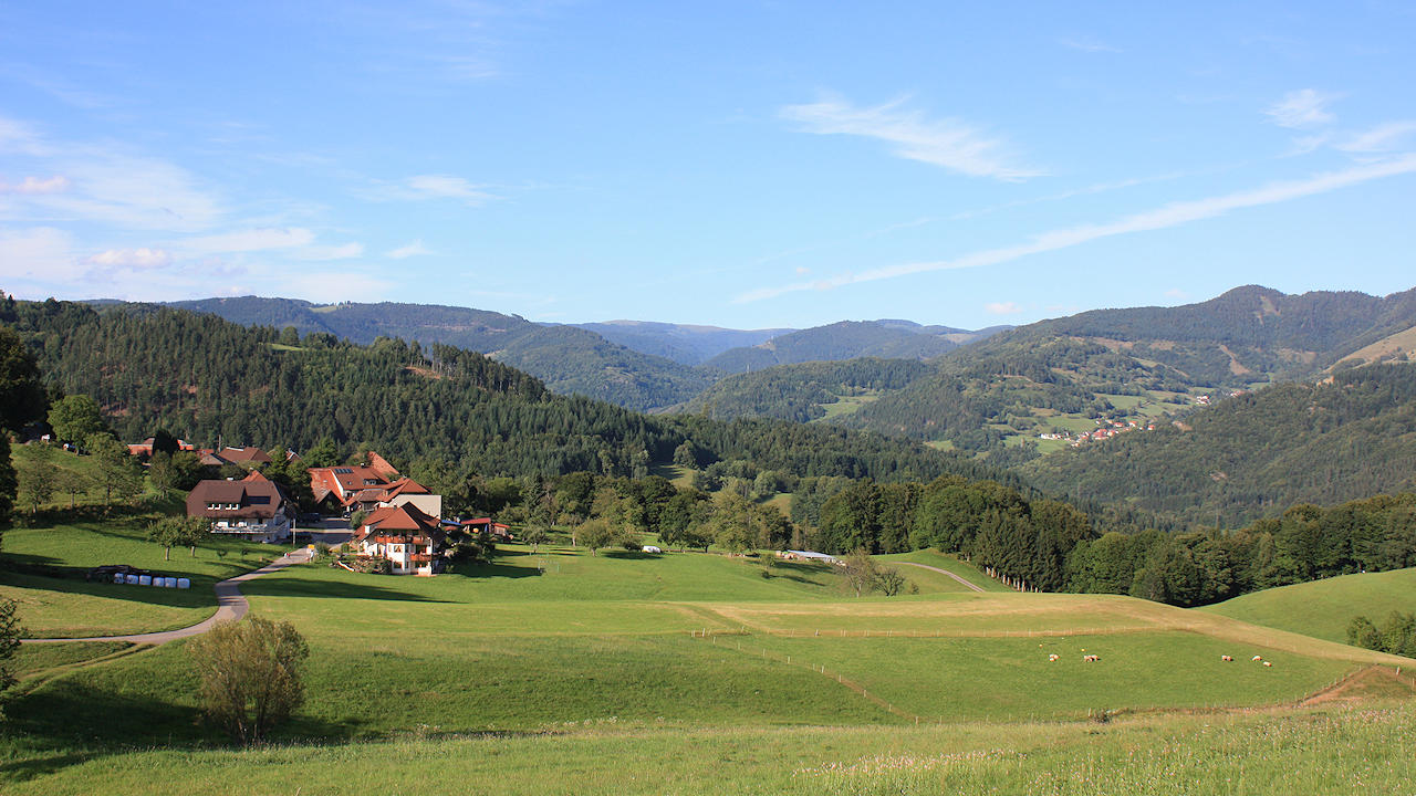
Photo: The district 'Hof'
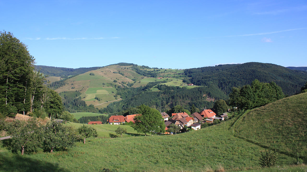
Photo: Ittenschwand
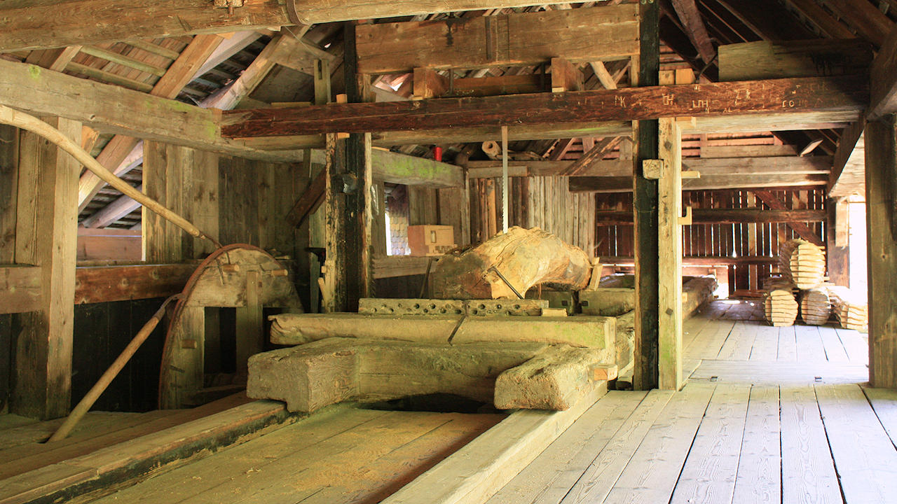
Photo: The technical monument 'Fröhnder Klopfsäge', a historical sawmill