


Freudenstadt in the Black Forest
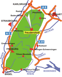
Map: Location Freudenstadt in the Black Forest
Information in brief
- Location: in the heart of the Northern Black Forest
- Autobahn A 81 exit at Horb (No. 30) or A 5 exit at Rastatt (No. 49) or Appenweier (No. 54)
- 731-968 m above sea level
- 22.500 inhabitants
- Districts: Lauterbad, Dietersweiler, Kniebis, Wittlensweiler, Grüntal, Frutenhof, Musbach, Igelsberg
Description
The large district town of Freudenstadt is located in the middle of the Northern Black Forest. The town is laid out like a nine men's morris board, courtesy of the master architect, Heinrich Schickhardt. The distinctive landmark is the biggest market square in Germany, which is surrounded by arcades.
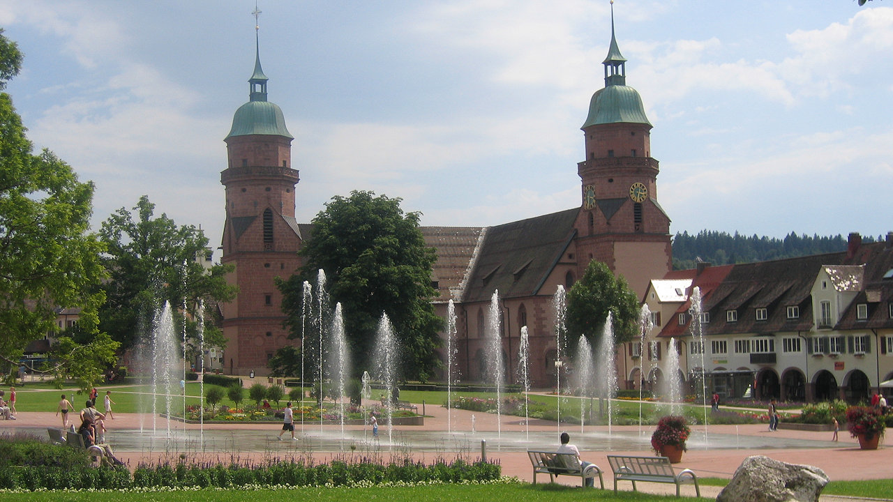
Photo: Freudenstadt market square with fountains
Further information
Further information - link
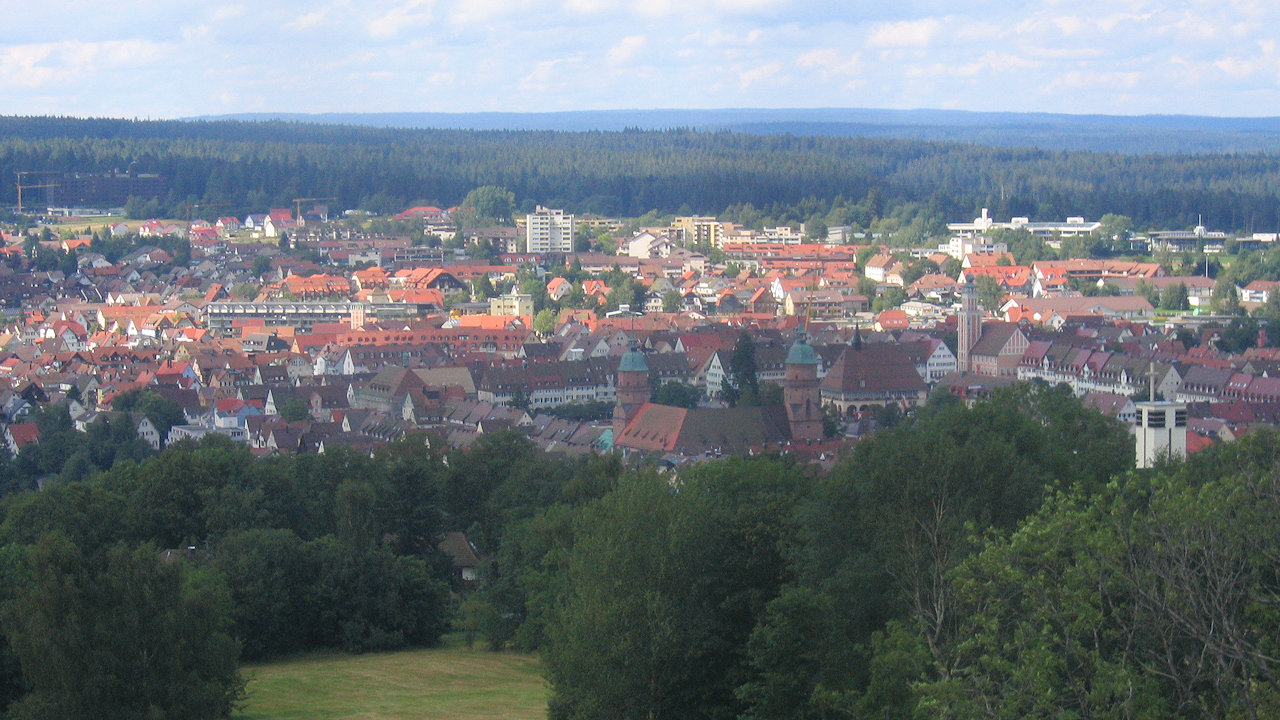
Photo: View from the Friedrichsturm on the city of Freudenstadt
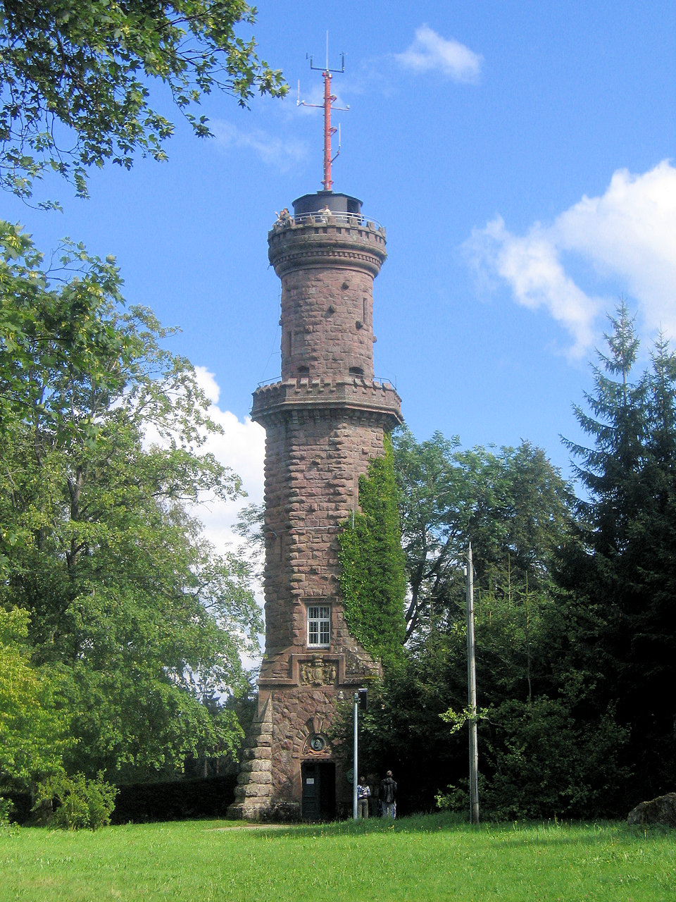
Photo: The Friedrichsturm lookout tower
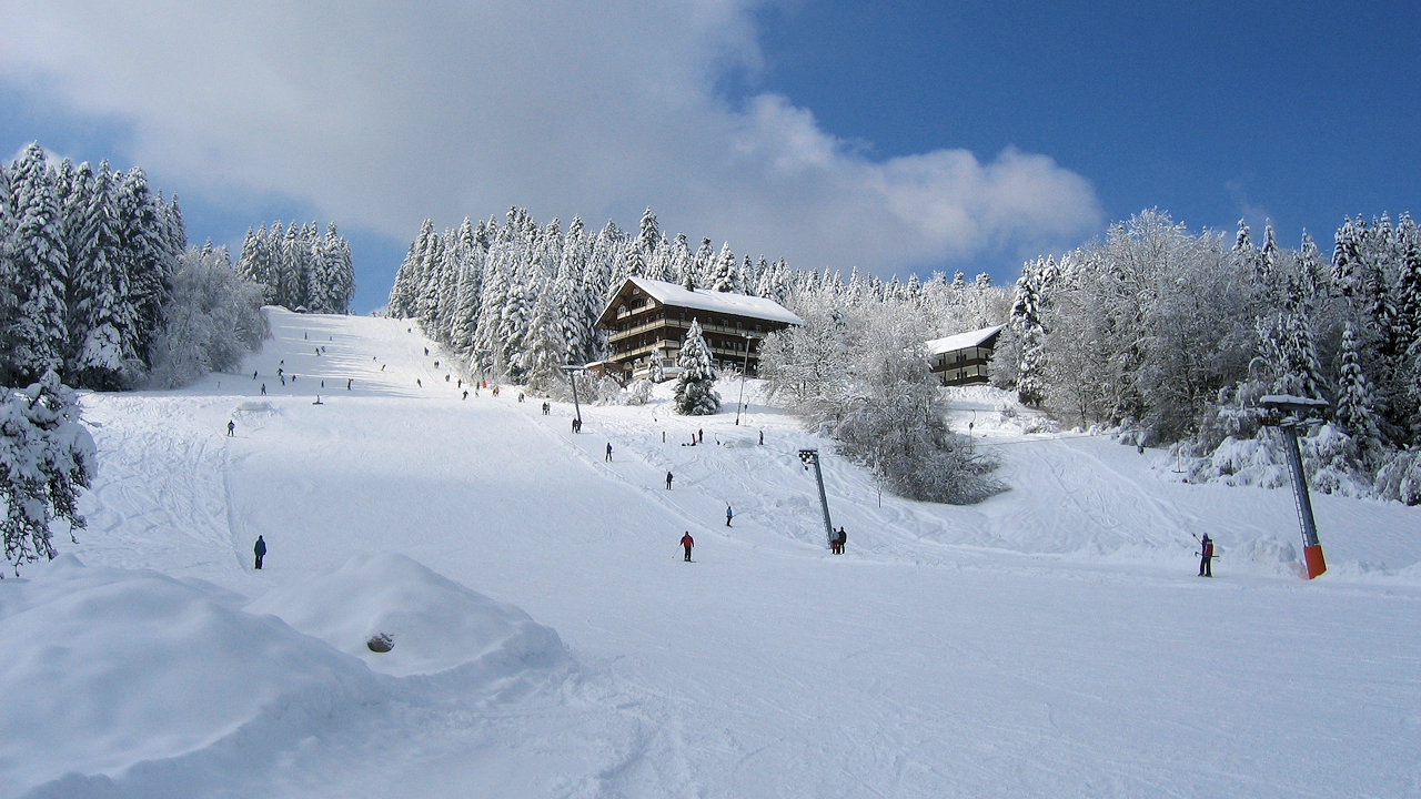
Photo: Ski-lift Stokinger in Freudenstadt-Lauterbad