


Donaueschingen in the Black Forest
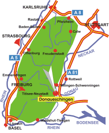
Map: Location of Donaueschingen in the Black Forest
Information in brief
- Location: at the south-eastern edge of the Black Forest, 10 km south of Villingen-Schwenningen
- Autobahn A 81 triangle Bad Dürrheim (No. 37)
- 680-950 m above sea level
- 22.500 inhabitants
- Districts: Aasen, Allmendshofen, Aufen, Grüningen, Heidenhofen, Hubertshofen, Neudingen, Pfohren, Wolterdingen
Description
Donaueschingen is situated on the high plateau of the 'Baar', at the eastern edge of the Black Forest.
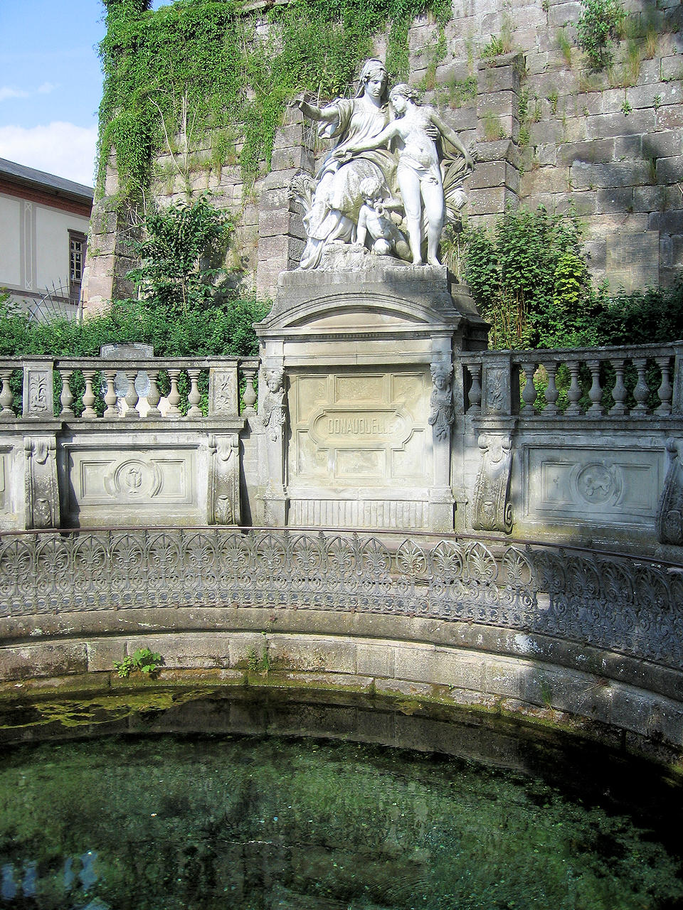
Photo: The 'Danube Source'