


Alpirsbach in the Black Forest
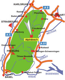
Map: Location of Alpirsbach in the Black Forest
Information in brief
- Location: in the Central Black Forest, 20 km south from Freudenstadt
- Autobahn A 81 exit at Oberndorf (No. 33)
- 400-800 m above sea level
- 6.300 inhabitants
- Districts: Ehlenbogen, Peterzell, Reinerzau, Reutin, Römlinsdorf, Rötenbach
Description
Alpirsbach is located in the upper Kinzig valley, approximately 20 km south of Freudenstadt. Although it is known because of the local brewery, the town and its districts have much more to offer.
The monastery church in Alpirsbach celebrated its 900th anniversary just a few years ago. Amongst other things, relics of the history of the monastery are on display in the information centre opened for the occasion, and the church and the monastery complex are open to the public.
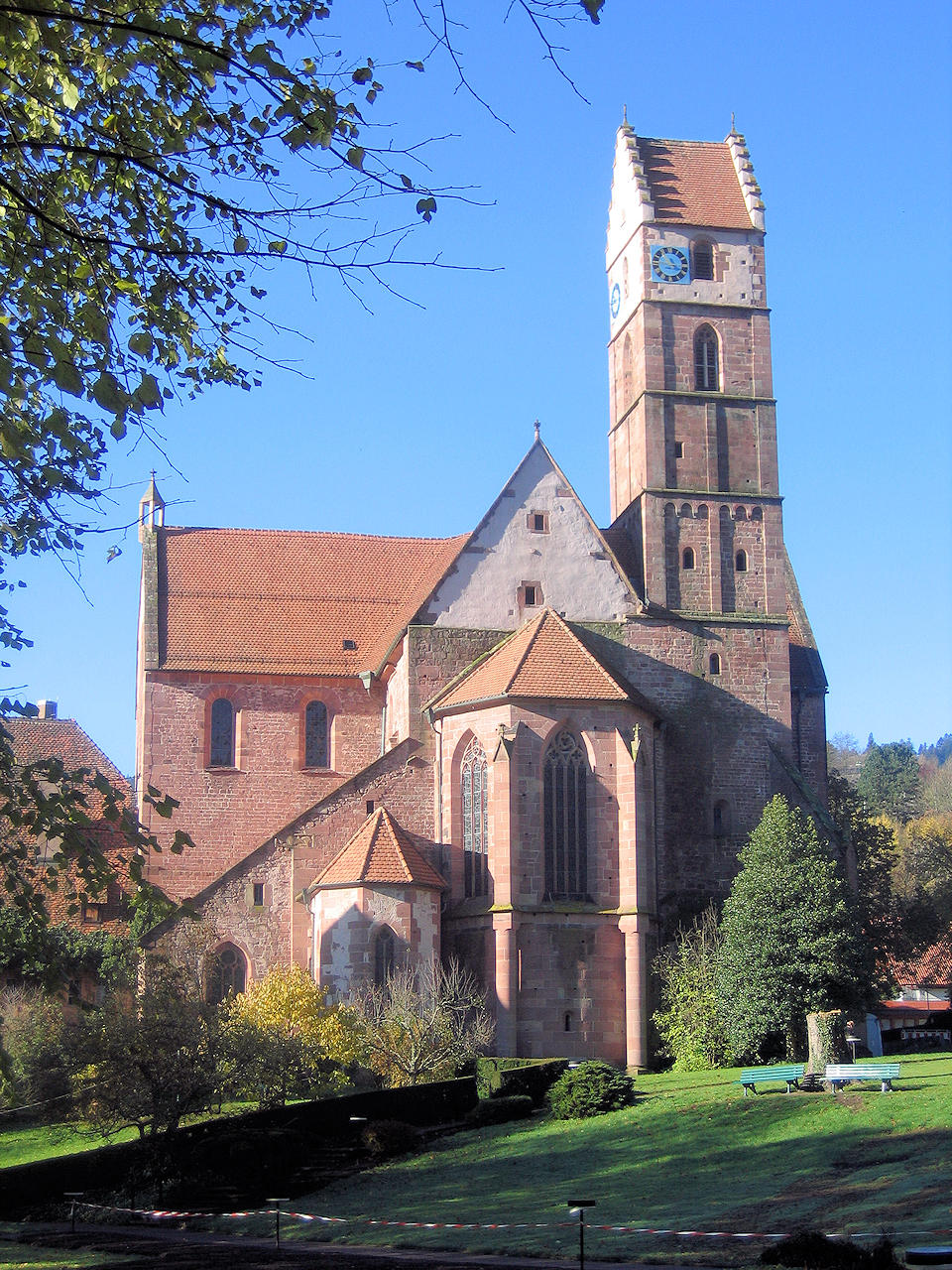
Photo: The monastery church, the town's landmark
Further information - links to other websites
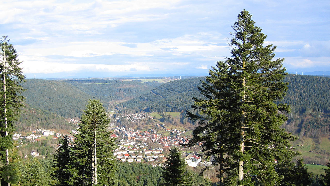
Photo: Nice view on Alpirsbach
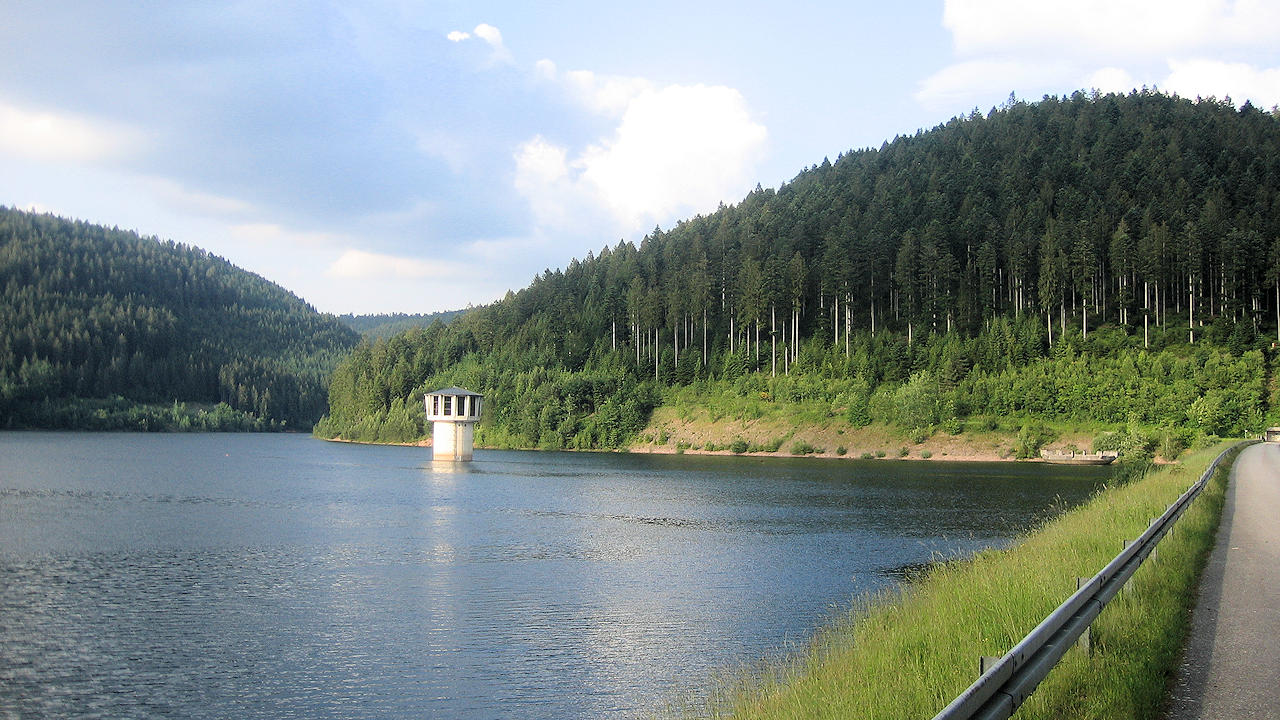
Photo: Barrage 'Kleine Kinzig'