Achern in the Black Forest
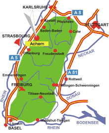
Map: Achern in the Black Forest
Information in brief
Location: Between the Black Forest an the Upper Rhine Valley, 30 km north from Offenburg
A5 exit Achern (No 53)
145 m above sea level
23.000 inhabitants
Districts: Fautenbach, Gamshurst, Grossweier, Mösbach, Oberachern, Önsbach, Sasbachried, Wagshurst
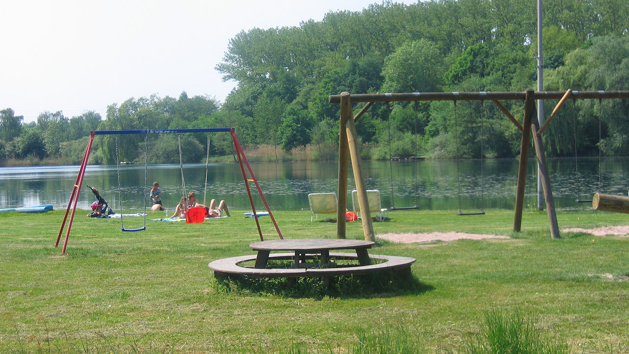
Photo: The 'Achernsee'
Further information
Achertal railway
- historical railway
Attractions in Achern
Quarry pond width lido and camping ground
Achern surroundings
Bühl
Sasbachwalden
Kappelrodeck
Appenweier
Black Forest Categories
Accommodation
Black Forest Map
Landscape
Photo galleries
Leisure activities
Places of interest
Places for excursions
Typical Black Forest
From A to Z
Black Forest Blog
Contact
Search
Advertising
Last update: July 27, 2010 ©2010
Legal notice